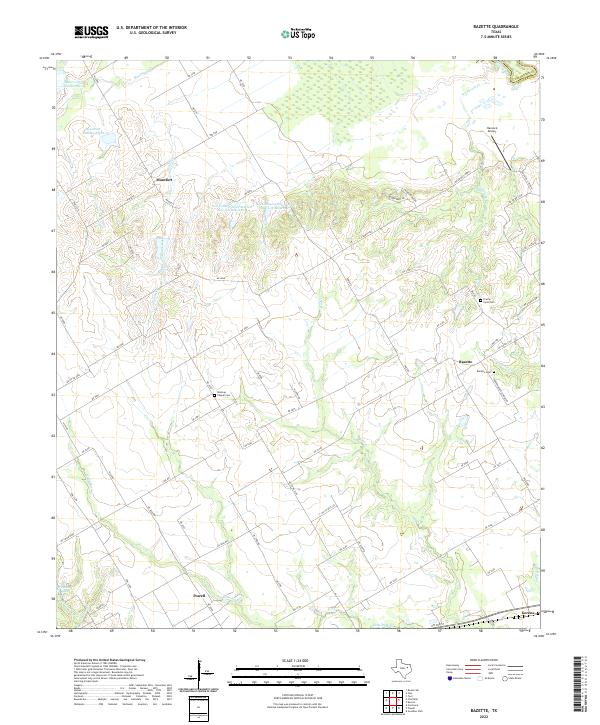
2022 Map of Bazette
USGS Topo · Published 2022This historical map portrays the area of Bazette in 2022, primarily covering Navarro County as well as portions of Henderson County. Featuring a scale of 1:24000, this map provides a highly detailed snapshot of the terrain, roads, buildings, counties, and historical landmarks in the Bazette region at the time. Published in 2022, it is the sole known edition of this map.
Map Details
Editions of this 2022 Bazette Map
This is the sole edition of this map. No revisions or reprints were ever made.
Historical Maps of Powell Through Time
16 maps found
1960 Goodlow Park
Navarro County, TX
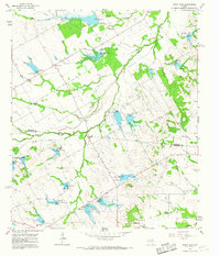
1961 Chatfield
Navarro County, TX
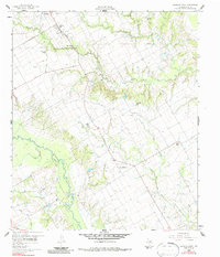
1962 Bazette
Navarro County, TX
1962 Cryer Creek
Navarro County, TX
1962 Rosser SW
Navarro County, TX
1965 Corbet
Navarro County, TX
1965 Purdon
Navarro County, TX
1965 Union High
Navarro County, TX
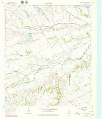
2022 Bazette
Navarro County, TX
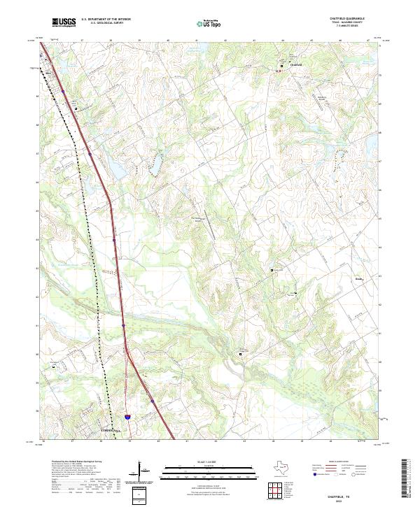
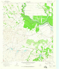
2022 Chatfield
Navarro County, TX
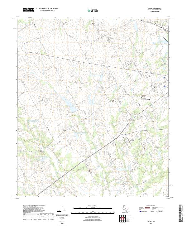
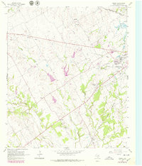
2022 Corbet
Navarro County, TX
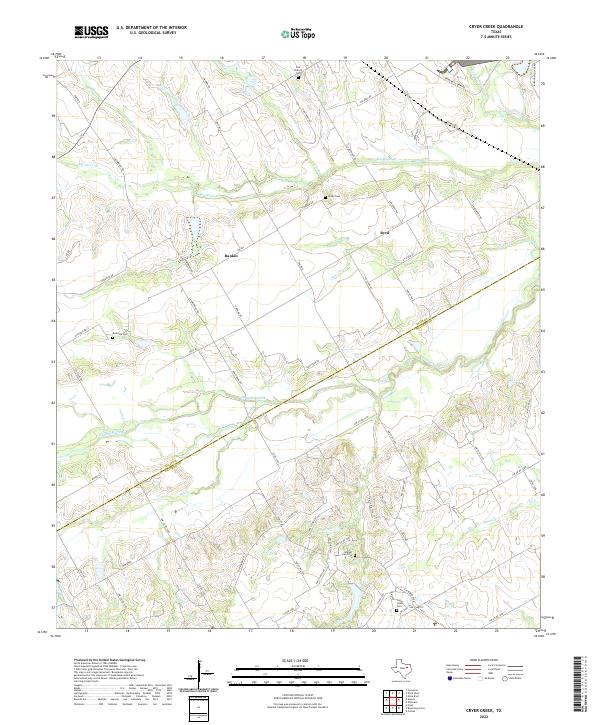
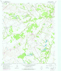
2022 Cryer Creek
Navarro County, TX
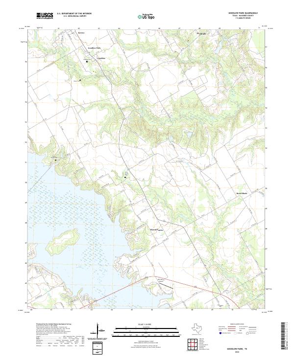
2022 Goodlow Park
Navarro County, TX
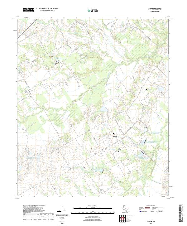
2022 Purdon
Navarro County, TX
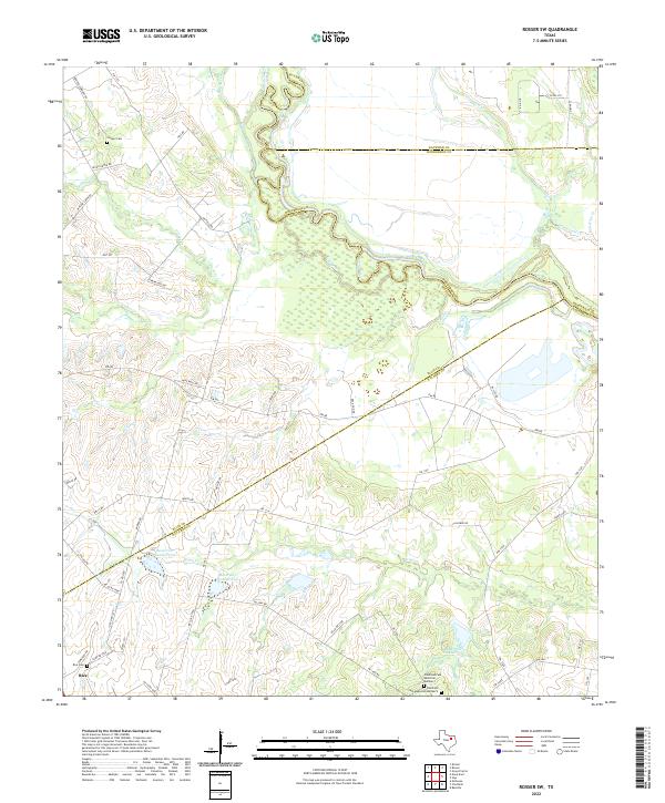
2022 Rosser SW
Navarro County, TX
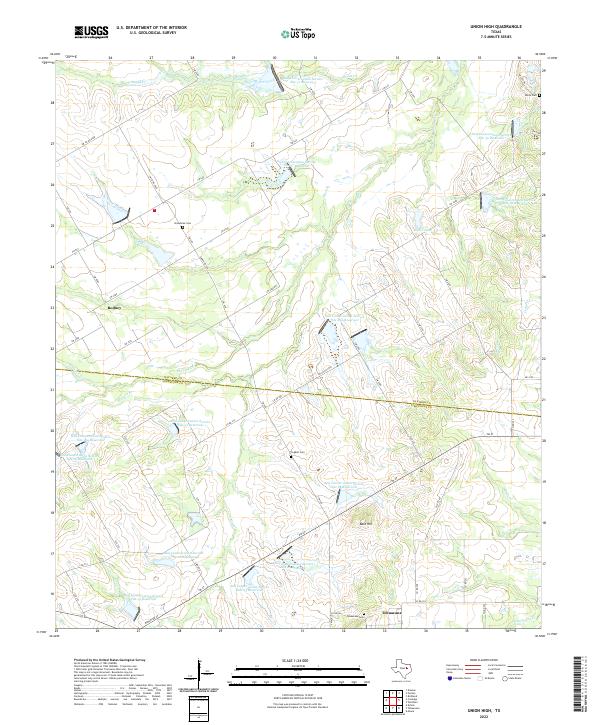
2022 Union High
Navarro County, TX