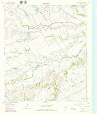
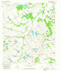
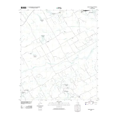
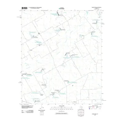
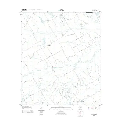
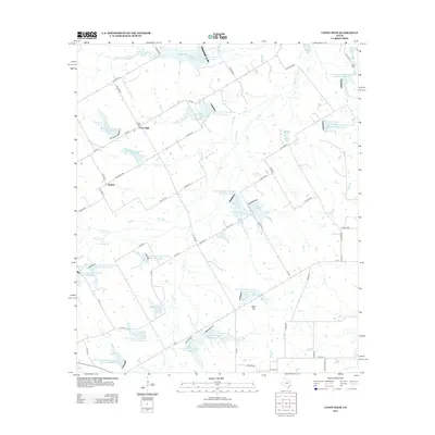
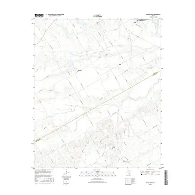
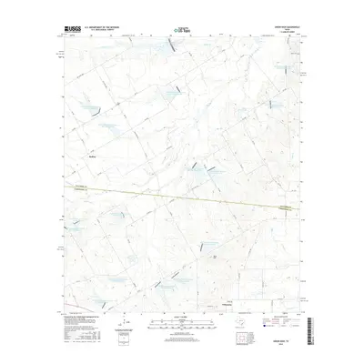
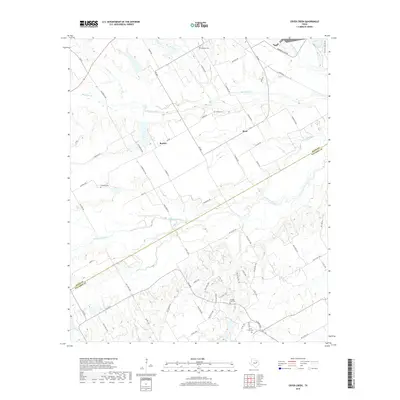
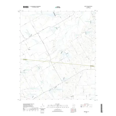
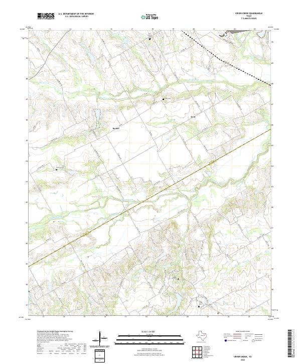
1962 Map of Cryer Creek
USGS Topo · Published 1979About this map
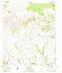
The boundary between Ellis Co and Navarro Co cuts through a landscape defined by the winding course of Chambers Creek and its many tributaries. In the early 1960s, this area remained largely agrarian, with small settlements like Cryer Creek and Rankin serving as local hubs. The map reveals the intricate drainage patterns of the region, where Onion Creek, Mustang Creek, and Mill Creek converge toward the main channel. Evidence of long-standing community life is found in the scattered burial grounds and spiritual centers, including Antonia Ch, Grange Hall Cem, and Antonia Cem.
Find a feature on this map
20 named features on this map. Tap any name to fly to it.
Don’t see what you’re looking for? This feature index may not catch every label — zoom into the map to look around manually.
Map Details
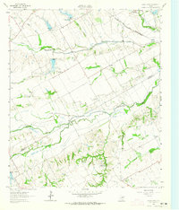
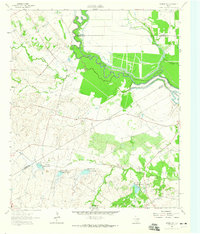
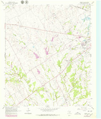
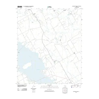
Editions of this 1962 Cryer Creek Map
2 editions found
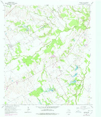
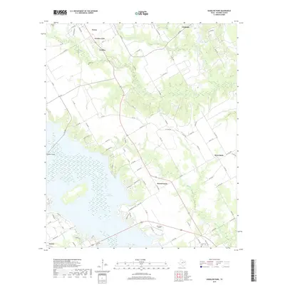
Historical Maps of Rankin Through Time
48 maps found
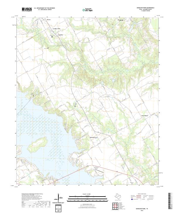
1960 Goodlow Park
Navarro County, TX
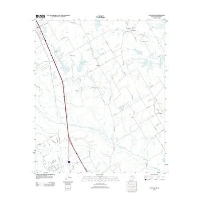
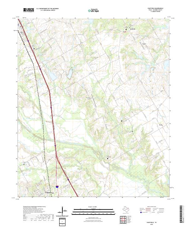
1961 Chatfield
Navarro County, TX
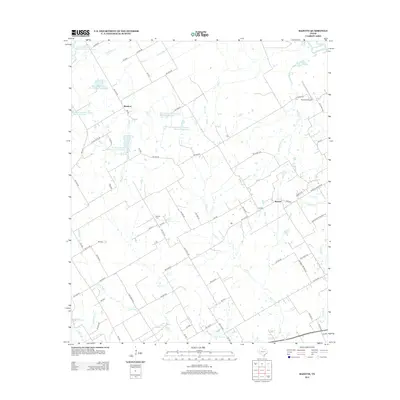
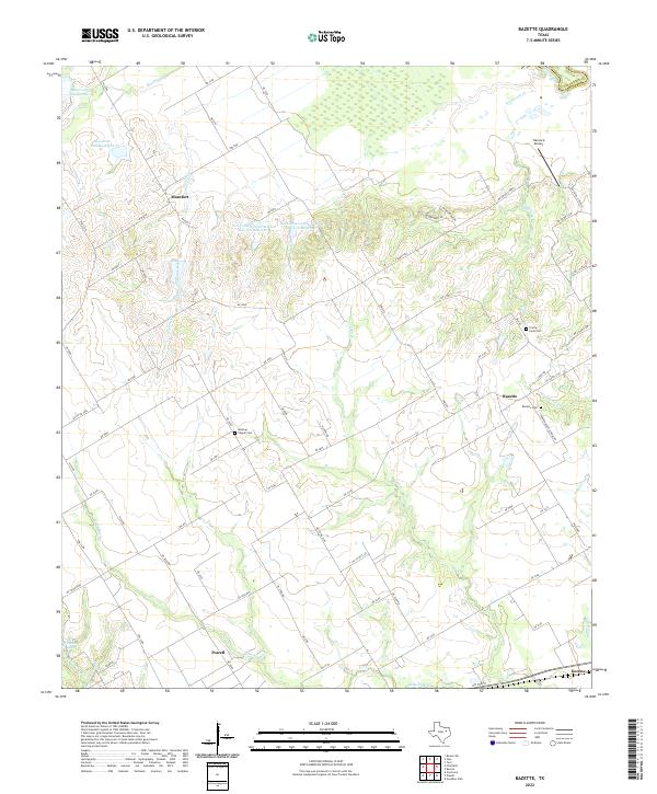
1962 Bazette
Navarro County, TX
1962 Cryer Creek
Navarro County, TX
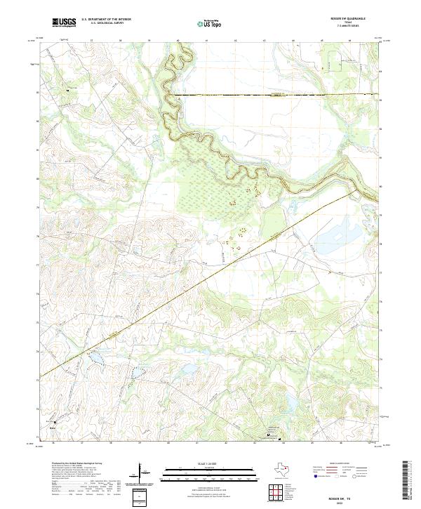
1962 Rosser SW
Navarro County, TX
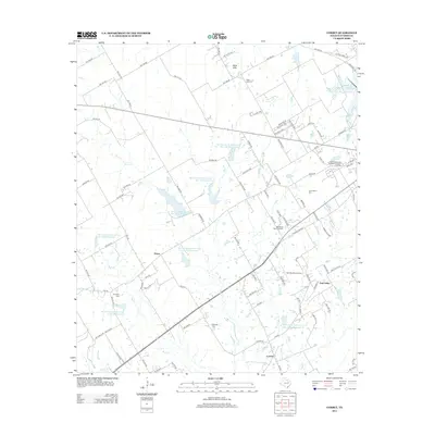
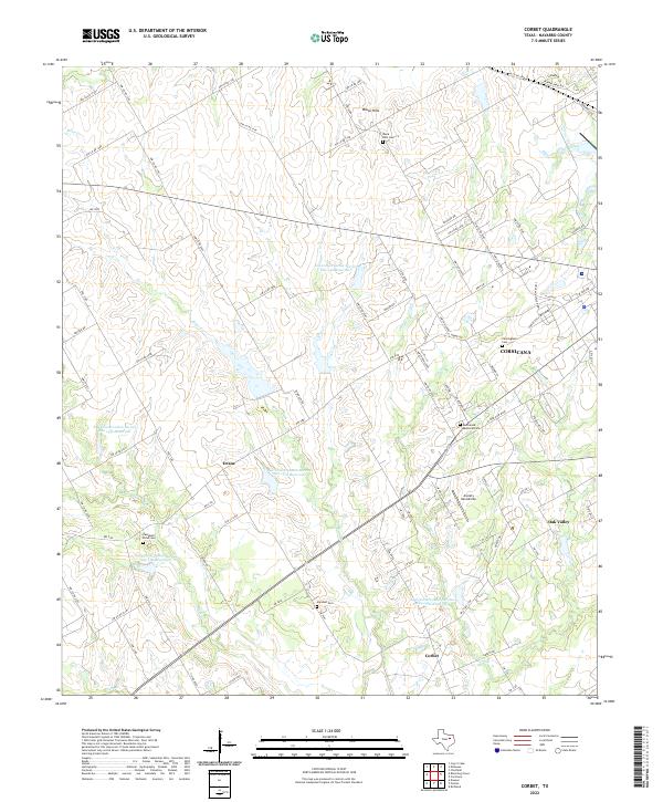
1965 Corbet
Navarro County, TX
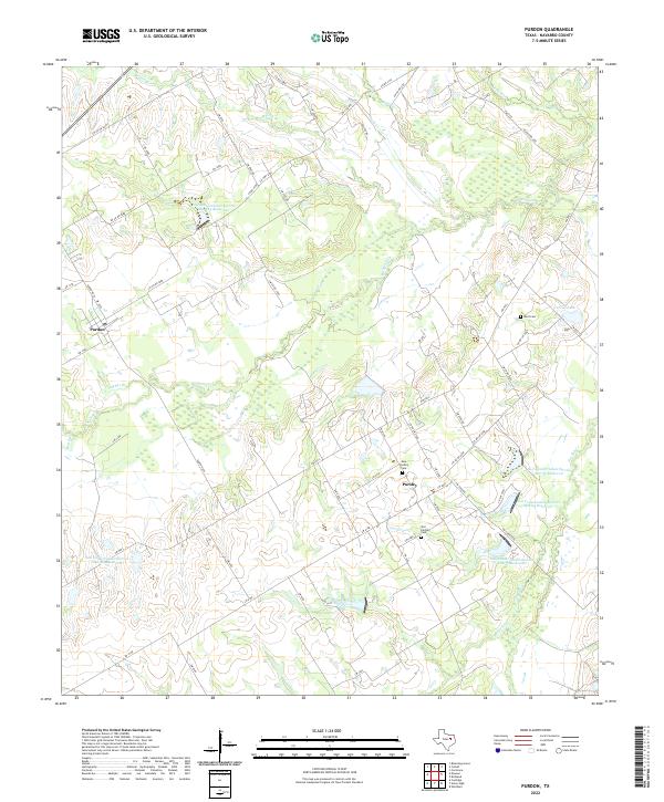
1965 Purdon
Navarro County, TX
1965 Union High
Navarro County, TX
2010 Bazette
Navarro County, TX
2010 Chatfield
Navarro County, TX
2010 Corbet
Navarro County, TX
2010 Cryer Creek
Navarro County, TX
2010 Goodlow Park
Navarro County, TX
2010 Purdon
Navarro County, TX
2010 Rosser SW
Navarro County, TX
2010 Union High
Navarro County, TX
2012 Bazette
Navarro County, TX
2012 Chatfield
Navarro County, TX
2012 Corbet
Navarro County, TX
2012 Cryer Creek
Navarro County, TX
2012 Goodlow Park
Navarro County, TX
2012 Rosser SW
Navarro County, TX
2013 Purdon
Navarro County, TX
2013 Union High
Navarro County, TX
2016 Bazette
Navarro County, TX
2016 Chatfield
Navarro County, TX
2016 Corbet
Navarro County, TX
2016 Cryer Creek
Navarro County, TX
2016 Goodlow Park
Navarro County, TX
2016 Purdon
Navarro County, TX
2016 Rosser SW
Navarro County, TX
2016 Union High
Navarro County, TX
2019 Bazette
Navarro County, TX
2019 Chatfield
Navarro County, TX
2019 Corbet
Navarro County, TX
2019 Cryer Creek
Navarro County, TX
2019 Goodlow Park
Navarro County, TX
2019 Purdon
Navarro County, TX
2019 Rosser SW
Navarro County, TX
2019 Union High
Navarro County, TX
2022 Bazette
Navarro County, TX
2022 Chatfield
Navarro County, TX
2022 Corbet
Navarro County, TX
2022 Cryer Creek
Navarro County, TX
2022 Goodlow Park
Navarro County, TX
2022 Purdon
Navarro County, TX
2022 Rosser SW
Navarro County, TX
2022 Union High
Navarro County, TX