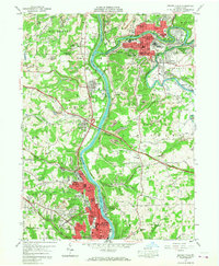
1957 Map of Beaver Falls
USGS Topo · Published 1968About this map
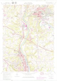
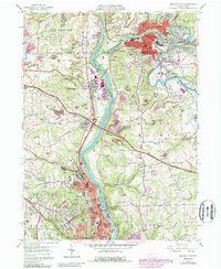
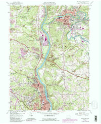
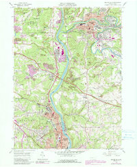
The Beaver River and Connoquenessing Creek serve as the industrial and logistical spine of this region during the late 1950s. The landscape is defined by the heavy presence of extractive industry, with numerous Strip Mines and smaller strip mines dotting the hillsides above Beaver Falls and Ellwood City. This era shows a dense concentration of educational and social institutions, including the campus of Geneva College and several local schools like Lincoln Sch and Ewing Park Sch, alongside established religious sites such as Concord Church and St Marys Cem.
Find a feature on this map
76 named features on this map. Tap any name to fly to it.
Don’t see what you’re looking for? This feature index may not catch every label — zoom into the map to look around manually.
Map Details
Editions of this 1957 Beaver Falls Map
8 editions found
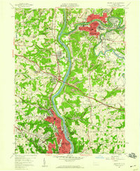
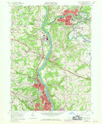
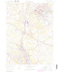
Other maps of this area

1901 · Beaver
USGS Topo · 1:62,500

1902 · New Castle
USGS Topo · 1:62,500

1904 · Newcastle
USGS Topo · 1:62,500

1904 · Beaver
USGS Topo · 1:62,500

1906 · Sewickley
USGS Topo · 1:62,500

1908 · Sewickley
USGS Topo · 1:62,500

1908 · Zelienople
USGS Topo · 1:62,500

1910 · Zelienople
USGS Topo · 1:62,500

1951 · Canton
USGS Topo · 1:250,000

1953 · Canton
USGS Topo · 1:250,000