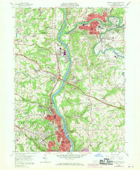
1957 Map of Beaver Falls
USGS Topo · Published 1970About this map
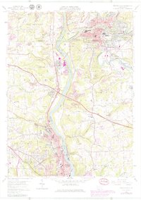
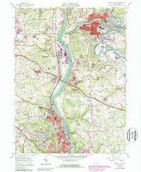
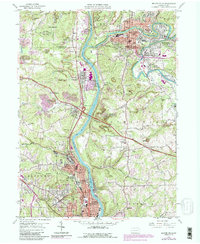
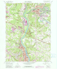
The industrial corridor of the Beaver River and Connoquenessing Creek dominates this mid-century portrait of western Pennsylvania. The landscape reveals the heavy intersection of transportation and industry, with three major rail lines—the Penn Central, Baltimore and Ohio RR, and Pittsburgh and Lake Erie RR—paralleling the riverbanks. The Pennsylvania Turnpike cuts a modern path across the topography, bridging the river near Homewood.
Find a feature on this map
73 named features on this map. Tap any name to fly to it.
Don’t see what you’re looking for? This feature index may not catch every label — zoom into the map to look around manually.
Map Details
Editions of this 1957 Beaver Falls Map
8 editions found
Other maps of this area

1901 · Beaver
USGS Topo · 1:62,500

1902 · New Castle
USGS Topo · 1:62,500

1904 · Newcastle
USGS Topo · 1:62,500

1904 · Beaver
USGS Topo · 1:62,500

1906 · Sewickley
USGS Topo · 1:62,500

1908 · Sewickley
USGS Topo · 1:62,500

1908 · Zelienople
USGS Topo · 1:62,500

1910 · Zelienople
USGS Topo · 1:62,500

1951 · Canton
USGS Topo · 1:250,000

1953 · Canton
USGS Topo · 1:250,000