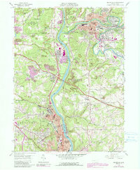
1957 Map of Beaver Falls
USGS Topo · Published 1990About this map
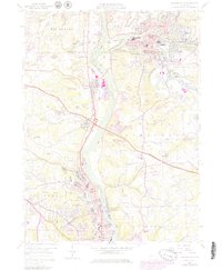
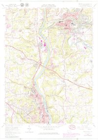
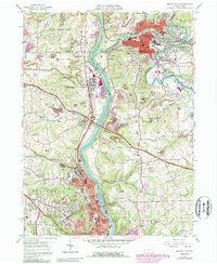
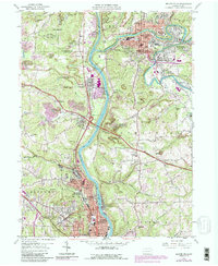
Beaver River and Connoquenessing Creek define the industrial and residential corridors of this Western Pennsylvania landscape, where steep valleys separate established boroughs from expanding uplands. The 1957 survey, updated with late 20th-century revisions, documents the concentration of civic life around Geneva College and College Hill while highlighting the intensive land use of strip mines and quarries that dominate the peripheral hills. Significant residential expansion is noted in purple, particularly near Ellwood City and the areas surrounding Beaver Falls. Transportation networks are prominent, featuring the Pennsylvania Turnpike cutting across the terrain and the Conrail lines following the riverbanks. The map also traces a network of neighborhood foundations, from parochial sites like St Marys Cem and St Agatha Cem to local educational landmarks such as North Side Sch and Hillcrest Sch.
Find a feature on this map
71 named features on this map. Tap any name to fly to it.
Don’t see what you’re looking for? This feature index may not catch every label — zoom into the map to look around manually.
Map Details
Editions of this 1957 Beaver Falls Map
8 editions found
Other maps of this area

1901 · Beaver
USGS Topo · 1:62,500

1902 · New Castle
USGS Topo · 1:62,500

1904 · Newcastle
USGS Topo · 1:62,500

1904 · Beaver
USGS Topo · 1:62,500

1906 · Sewickley
USGS Topo · 1:62,500

1908 · Sewickley
USGS Topo · 1:62,500

1908 · Zelienople
USGS Topo · 1:62,500

1910 · Zelienople
USGS Topo · 1:62,500

1951 · Canton
USGS Topo · 1:250,000

1953 · Canton
USGS Topo · 1:250,000