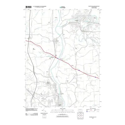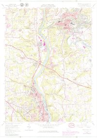
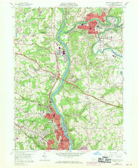
1957 Map of Beaver Falls
USGS Topo · Published 1979About this map
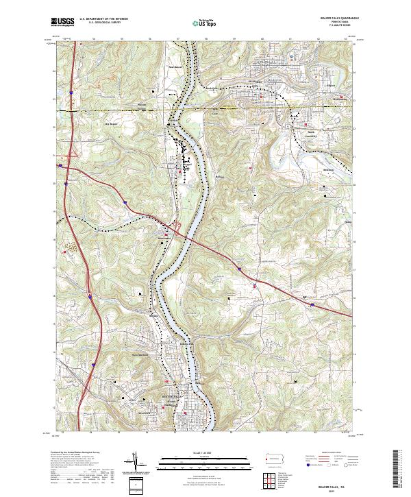
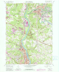
Beaver River and Connoquenessing Creek anchor this industrial and educational landscape during a period of significant mid-century revision. The map highlights the concentrated development of Beaver Falls and Ellwood City, where the Pittsburgh and Lake Erie River railroad and Conrail tracks trace the valley floor, supporting the region's historical manufacturing base. Educational roots are firmly planted at Geneva College in College Hill, while the surrounding hillsides show the extensive footprint of Strip Mine operations that once defined the local economy.
Find a feature on this map
62 named features on this map. Tap any name to fly to it.
Don’t see what you’re looking for? This feature index may not catch every label — zoom into the map to look around manually.
Map Details
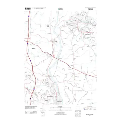
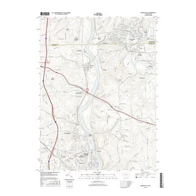
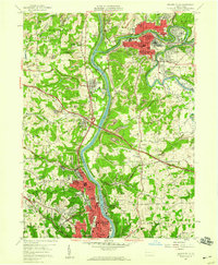
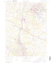
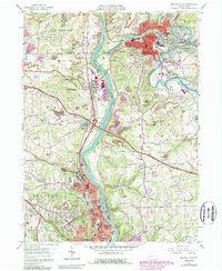
Editions of this 1957 Beaver Falls Map
8 editions found
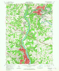
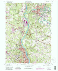
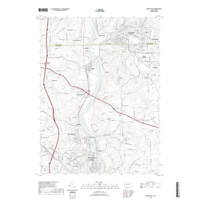
Historical Maps of Beaver Falls Through Time
6 maps found