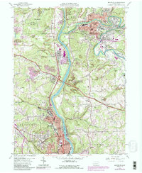
1957 Map of Beaver Falls
USGS Topo · Published 1990About this map
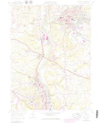
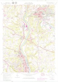
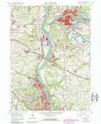
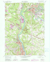
Geneva College serves as a prominent landmark in the southern reaches of this river valley landscape, marking the northern edge of Beaver Falls. The Beaver River and Connoquenessing Creek define the region's transport and industrial corridors, with the Pennsylvania RR and B & O RR tracking closely along the water's edge. Industrial activity is evident in numerous Strip Mine operations scattered throughout the western uplands of New Beaver and Chippewa. Several historic burial sites, including Locust Grove Cem, Holy Redemer Cem, and Providence Cem, provide important points of reference for genealogical research. The map also highlights mid-century recreational and civic features like the Drive-in Theater near North Sewickley and the extensive State Game Lands No 148.
Find a feature on this map
74 named features on this map. Tap any name to fly to it.
Don’t see what you’re looking for? This feature index may not catch every label — zoom into the map to look around manually.
Map Details
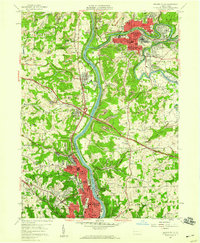
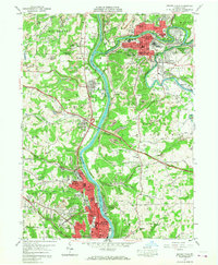
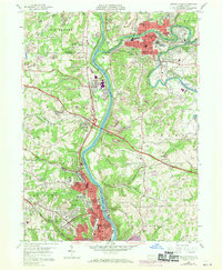
Editions of this 1957 Beaver Falls Map
8 editions found
Other maps of this area

1901 · Beaver
USGS Topo · 1:62,500

1902 · New Castle
USGS Topo · 1:62,500

1904 · Newcastle
USGS Topo · 1:62,500

1904 · Beaver
USGS Topo · 1:62,500

1906 · Sewickley
USGS Topo · 1:62,500

1908 · Sewickley
USGS Topo · 1:62,500

1908 · Zelienople
USGS Topo · 1:62,500

1910 · Zelienople
USGS Topo · 1:62,500

1951 · Canton
USGS Topo · 1:250,000

1953 · Canton
USGS Topo · 1:250,000