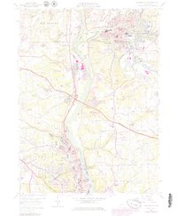
1957 Map of Beaver Falls
USGS Topo · Published 1979About this map
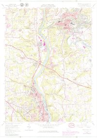
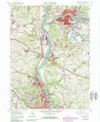
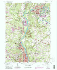
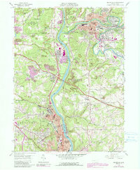
Geneva College stands as a prominent academic landmark overlooking the Beaver River in this mid-century portrait of industrial Pennsylvania. The landscape is defined by the sharp convergence of the Beaver River, Connoquenessing Creek, and Slippery Rock Creek, creating a corridor of heavy industry and transport infrastructure. Extensive Strip Mine operations are visible across the western hills, particularly near Glenkirk and Stockman, illustrating the region's reliance on mineral extraction alongside its manufacturing centers in Beaver Falls and Ellwood City.
Find a feature on this map
65 named features on this map. Tap any name to fly to it.
Don’t see what you’re looking for? This feature index may not catch every label — zoom into the map to look around manually.
Map Details
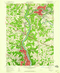
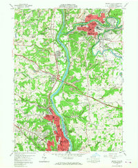
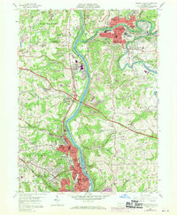
Editions of this 1957 Beaver Falls Map
8 editions found
Other maps of this area

1901 · Beaver
USGS Topo · 1:62,500

1902 · New Castle
USGS Topo · 1:62,500

1904 · Newcastle
USGS Topo · 1:62,500

1904 · Beaver
USGS Topo · 1:62,500

1906 · Sewickley
USGS Topo · 1:62,500

1908 · Sewickley
USGS Topo · 1:62,500

1908 · Zelienople
USGS Topo · 1:62,500

1910 · Zelienople
USGS Topo · 1:62,500

1951 · Canton
USGS Topo · 1:250,000

1953 · Canton
USGS Topo · 1:250,000