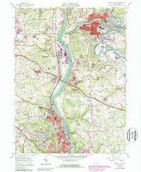
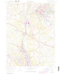
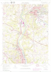
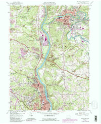
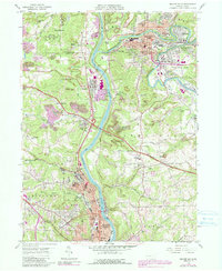
1957 Map of Beaver Falls
USGS Topo · Published 1989About this map
Industrial and educational hubs define this stretch of the Beaver River valley during the late 1950s. The prominent campus of Geneva College overlooks the river at College Hill, serving as a cultural anchor for the larger Beaver Falls community. To the north, the confluence of Connoquenessing Creek and the river creates a focused industrial corridor where Ellwood City and Koppel developed around vital rail lines like the Conrail network.
Find a feature on this map
68 named features on this map. Tap any name to fly to it.
Don’t see what you’re looking for? This feature index may not catch every label — zoom into the map to look around manually.
Map Details
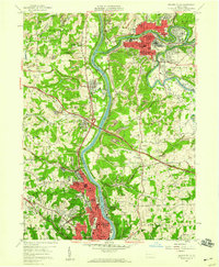
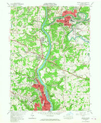
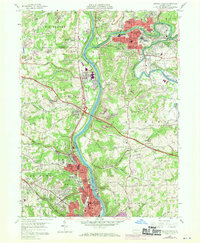
Editions of this 1957 Beaver Falls Map
8 editions found
Other maps of this area

1901 · Beaver
USGS Topo · 1:62,500

1902 · New Castle
USGS Topo · 1:62,500

1904 · Newcastle
USGS Topo · 1:62,500

1904 · Beaver
USGS Topo · 1:62,500

1906 · Sewickley
USGS Topo · 1:62,500

1908 · Sewickley
USGS Topo · 1:62,500

1908 · Zelienople
USGS Topo · 1:62,500

1910 · Zelienople
USGS Topo · 1:62,500

1951 · Canton
USGS Topo · 1:250,000

1953 · Canton
USGS Topo · 1:250,000