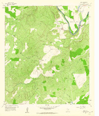
1959 Map of Bend
USGS Topo · Published 1960About this map
The Colorado River carves a deep arc through the eastern edge of this landscape, defining the border between San Saba and Lampasas Counties. This 1959 survey reveals a rural Texas Hill Country environment shaped by narrow drainage networks like Rough Creek and Cherokee Creek that feed into the river's basin. The small settlement of Bend anchors the northern bend of the river, while the tiny community of Chappel is positioned further west near Cedar Creek.
Find a feature on this map
24 named features on this map. Tap any name to fly to it.
Don’t see what you’re looking for? This feature index may not catch every label — zoom into the map to look around manually.
Map Details
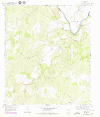
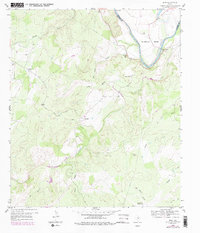
Editions of this 1959 Bend Map
3 editions found
Other maps of this area

1885 · San Saba
USGS Topo · 1:125,000

1887 · Llano
USGS Topo · 1:125,000

1887 · Lampasas
USGS Topo · 1:125,000

1887 · Burnet
USGS Topo · 1:125,000

1893 · Burnet
USGS Topo · 1:125,000

1894 · Lampasas
USGS Topo · 1:125,000

1894 · San Saba
USGS Topo · 1:125,000

1894 · Llano
USGS Topo · 1:125,000

1903 · Burnet
USGS Topo · 1:125,000

1904 · Llano
USGS Topo · 1:125,000