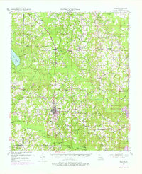
1951 Map of Bernice
USGS Topo · Published 1976About this map
Bernice serves as the primary hub of this North Louisiana landscape, where the Chicago Rock Island and Pacific RR cuts a straight line through the timbered terrain of Union and Claiborne Parishes. The map reveals a dense network of rural life during the mid-20th century, characterized by numerous country churches such as Mt Sterling Ch and New Bethel Ch, alongside family-named burial grounds like Coley Cem and Taylor Cem. In the northeastern reaches, the community of Spearsville is surrounded by a complex system of creek branches including Tenmile Creek and Lion Creek. A significant landscape change is documented with the appearance of Bayou D'Arbonne Lake and Corney Lake, illustrating the transition of the local hydrology from purely riverine bayous to managed reservoirs and recreation areas.
Find a feature on this map
81 named features on this map. Tap any name to fly to it.
Don’t see what you’re looking for? This feature index may not catch every label — zoom into the map to look around manually.
Map Details
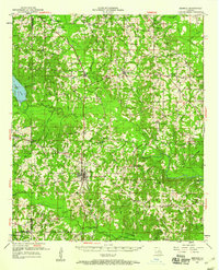
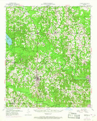
Editions of this 1951 Bernice Map
4 editions found

Other maps of this area

1927 · El Dorado
USGS Topo · 1:62,500

1930 · El Dorado
USGS Topo · 1:62,500

1933 · Strong
USGS Topo · 1:62,500

1937 · Strong
USGS Topo · 1:62,500

1939 · Strong
USGS Topo · 1:62,500

1950 · Ruston
USGS Topo · 1:62,500

1950 · Arcadia
USGS Topo · 1:62,500

1951 · Arcadia
USGS Topo · 1:62,500

1951 · Ruston
USGS Topo · 1:62,500

1951 · Summerfield
USGS Topo · 1:62,500