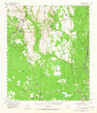
1955 Map of Bessmay
USGS Topo · Published 1965About this map
The Sabine River marks the eastern boundary of this mid-century landscape, where the Texas-Louisiana border winds through a network of wetlands including Black Marsh and Negro Marsh. The terrain is defined by a distinct mix of low-lying baygalls and higher ground, notably Farrell Baygall and Bumpy Baygall in the north and several expansive flats like High Prairie, Blacks Prairie, and Long Prairie. This distribution of land suggests a settlement pattern tied to the slightly elevated ridges, where small communities and family-named locations such as Banker Hill and Robertson were established.
Find a feature on this map
56 named features on this map. Tap any name to fly to it.
Don’t see what you’re looking for? This feature index may not catch every label — zoom into the map to look around manually.
Map Details
Editions of this 1955 Bessmay Map
2 editions found

Other maps of this area

1926 · Lakeview
USGS Topo · 1:24,000

1926 · Texla
USGS Topo · 1:24,000

1926 · Mauriceville
USGS Topo · 1:24,000

1932 · Beaumont
USGS Topo · 1:62,500

1932 · Orange
USGS Topo · 1:62,500

1943 · Mauriceville
USGS Topo · 1:24,000

1943 · Texla
USGS Topo · 1:24,000

1947 · Starks
USGS Topo · 1:31,680

1947 · Toomey
USGS Topo · 1:31,680

1947 · Carter Creek
USGS Topo · 1:31,680