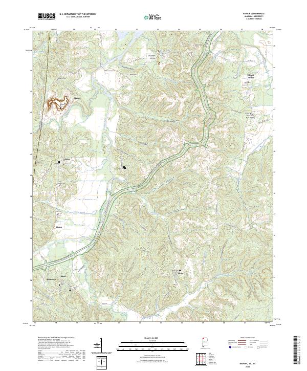
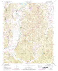
2024 Map of Bishop
USGS Topo · Published 2024About this map
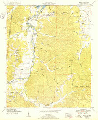
Natchez Trace Parkway carves a diagonal path through the northwest corner of Colbert County, Alabama, following the historic frontier route along the Mississippi state line. The landscape is defined by the winding course of Bear Creek and its many tributaries, including Cripple Deer Creek and Wills Creek. The settlement pattern reflects a long-standing agricultural and rural community centered on small hubs like Allsboro, Bishop, and Maud.
Find a feature on this map
87 named features on this map. Tap any name to fly to it.
Don’t see what you’re looking for? This feature index may not catch every label — zoom into the map to look around manually.
Map Details
Editions of this 2024 Bishop Map
This is the sole edition of this map. No revisions or reprints were ever made.
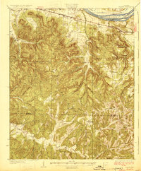
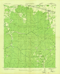
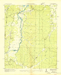
Historical Maps of Malone Through Time
20 maps found

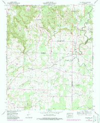
1925 Barton
Colbert County, AL

1926 Barton
Colbert County, AL
1929 Barton
Colbert County, AL
1936 Barton
Colbert County, AL
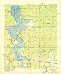
1936 Bishop
Colbert County, AL
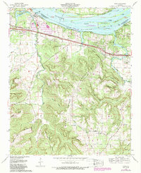
1936 Margerum
Colbert County, AL
1936 Old Bethel
Colbert County, AL
1936 Pride
Colbert County, AL
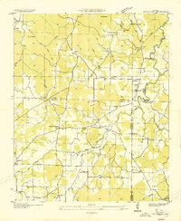
1950 Bishop
Colbert County, AL
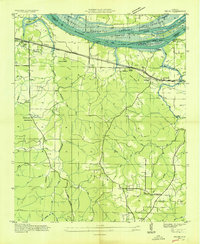
1951 Bishop
Colbert County, AL
1953 Barton
Colbert County, AL
1953 Margerum
Colbert County, AL
1954 Pride
Colbert County, AL
1957 Old Bethel
Colbert County, AL
1971 Pride
Colbert County, AL
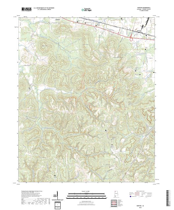
2024 Barton
Colbert County, AL
2024 Bishop
Colbert County, AL
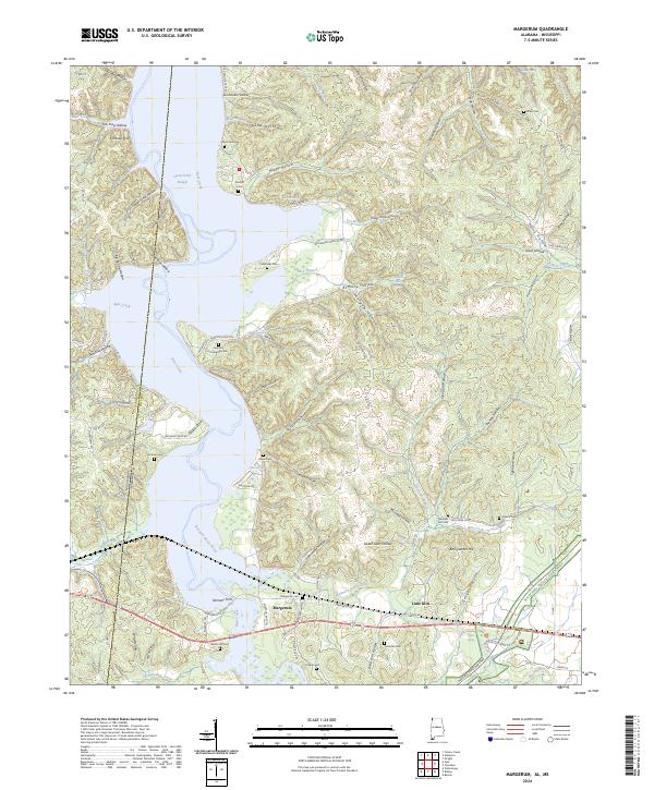
2024 Margerum
Colbert County, AL
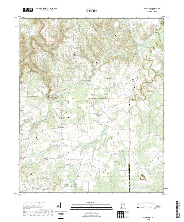
2024 Old Bethel
Colbert County, AL
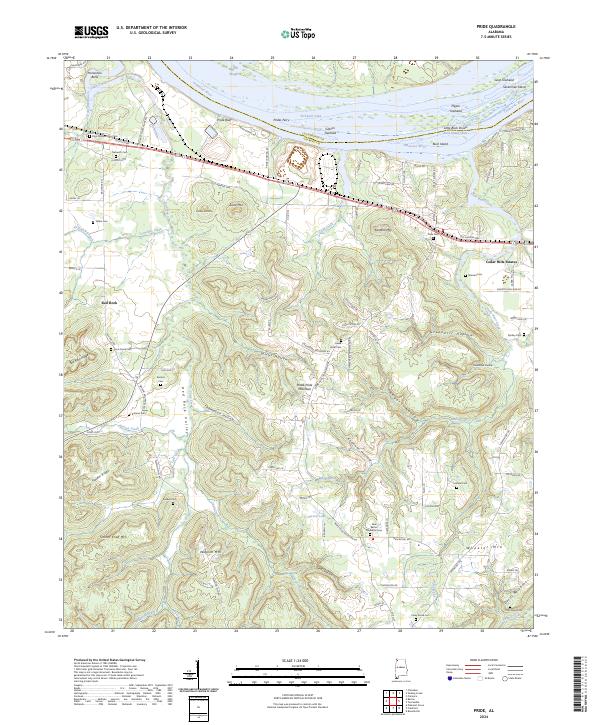
2024 Pride
Colbert County, AL