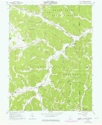
1961 Map of Blue Creek
USGS Topo · Published 1976About this map
The rugged hill country of the Virginia Military District dominates this 1960s landscape, where small communities like Blue Creek and Wamsley sit within the narrow valleys of Scioto Brush Creek and its many tributaries. This terrain is characterized by steep ridges such as Peach Mtn and Coleman Ridge, largely preserved within the Brush Creek State Forest and Shawnee State Forest. The settlement pattern follows the water, with family and community life centered around local landmarks like the Township High Sch and St Josephs Ch.
Find a feature on this map
63 named features on this map. Tap any name to fly to it.
Don’t see what you’re looking for? This feature index may not catch every label — zoom into the map to look around manually.
Map Details
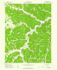
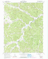
Editions of this 1961 Blue Creek Map
Other maps of this area

1915 · Garrison
USGS Topo · 1:62,500

1915 · Otway
USGS Topo · 1:62,500

1916 · Peebles
USGS Topo · 1:62,500

1917 · Otway
USGS Topo · 1:62,500

1918 · Garrison
USGS Topo · 1:62,500

1918 · Peebles
USGS Topo · 1:62,500

1919 · Vanceburg
USGS Topo · 1:62,500

1949 · Pond Run
USGS Topo · 1:24,000

1949 · Vanceburg
USGS Topo · 1:62,500

1949 · Buena Vista
USGS Topo · 1:24,000