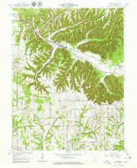
1966 Map of Borden
USGS Topo · Published 1968About this map
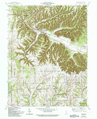
The town of Borden sits at the confluence of several deep valleys where the Monon Railroad follows the path of the Muddy Fork. This mid-century survey reveals a landscape shaped by the steep hills of the Clark State Forest, where numerous hollows like Brown Hollow and Alum Cave Hollow drain into the local water system. The transition from the high, wooded ridges to the south is marked by smaller farming communities and religious centers such as Navilleton, Scottsville, and Martinsburg. Genealogists will find several well-defined burial grounds and churches, including Chapel Hill Cemetery and Mt Eden Church. The southern portion of the map shows a more open, rolling terrain with an established network of named thoroughfares like Mary Naville Road and Miller Road, reflecting the rural development of Floyd and Clark counties during this era.
Find a feature on this map
81 named features on this map. Tap any name to fly to it.
Don’t see what you’re looking for? This feature index may not catch every label — zoom into the map to look around manually.
Map Details
Editions of this 1966 Borden Map
5 editions found
Other maps of this area

1938 · Speed
USGS Topo · 1:24,000

1939 · New Albany
USGS Topo · 1:24,000

1939 · Georgetown
USGS Topo · 1:24,000

1941 · Borden
USGS Topo · 1:24,000

1946 · New Albany
USGS Topo · 1:24,000

1947 · Speed
USGS Topo · 1:24,000

1947 · Georgetown
USGS Topo · 1:24,000

1949 · Henryville
USGS Topo · 1:24,000

1949 · Georgetown
USGS Topo · 1:24,000

1950 · Salem
USGS Topo · 1:24,000