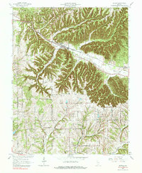
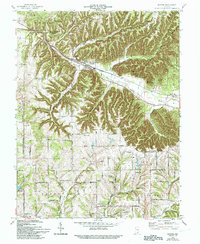
1966 Map of Borden
USGS Topo · Published 1984About this map
Muddy Fork carves a deep valley through the southern Indiana uplands, anchoring a network of small agricultural and timber communities. The Monon railroad corridor defines the central axis of the landscape, serving the town of Borden and winding past the northern edges of Clark State Forest. This 1960s topography captures the region's rural character before major modern expansion, showing a dense distribution of country churches and family burial grounds that tell the story of early settlement.
Find a feature on this map
50 named features on this map. Tap any name to fly to it.
Don’t see what you’re looking for? This feature index may not catch every label — zoom into the map to look around manually.
Map Details
Editions of this 1966 Borden Map
5 editions found
Other maps of this area

1938 · Speed
USGS Topo · 1:24,000

1939 · New Albany
USGS Topo · 1:24,000

1939 · Georgetown
USGS Topo · 1:24,000

1941 · Borden
USGS Topo · 1:24,000

1946 · New Albany
USGS Topo · 1:24,000

1947 · Speed
USGS Topo · 1:24,000

1947 · Georgetown
USGS Topo · 1:24,000

1949 · Henryville
USGS Topo · 1:24,000

1949 · Georgetown
USGS Topo · 1:24,000

1950 · Salem
USGS Topo · 1:24,000