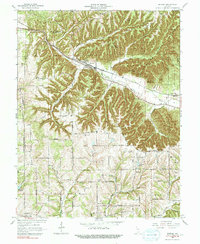
1966 Map of Borden
USGS Topo · Published 1991About this map
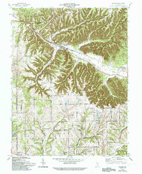
Borden sits at the junction of several drainage systems in this southern Indiana landscape, where the Monon railroad follows the course of the Muddy Fork. The topography is defined by sharp ridges and deep hollows, such as Nicholson Hollow and Breedlove Hollow, which constrained early development to the narrow valley floors and flatter uplands. This 1966 revision, based on earlier surveys from the late 1930s, reveals a rural network of churches and cemeteries that anchored these small communities, including the Mt Eden Cem & Ch and Chapel Hill Ch & Cem.
Find a feature on this map
49 named features on this map. Tap any name to fly to it.
Don’t see what you’re looking for? This feature index may not catch every label — zoom into the map to look around manually.
Map Details
Editions of this 1966 Borden Map
5 editions found
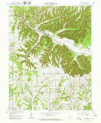
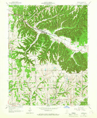
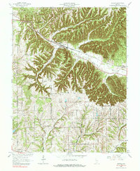
Other maps of this area

1938 · Speed
USGS Topo · 1:24,000

1939 · New Albany
USGS Topo · 1:24,000

1939 · Georgetown
USGS Topo · 1:24,000

1941 · Borden
USGS Topo · 1:24,000

1946 · New Albany
USGS Topo · 1:24,000

1947 · Speed
USGS Topo · 1:24,000

1947 · Georgetown
USGS Topo · 1:24,000

1949 · Henryville
USGS Topo · 1:24,000

1949 · Georgetown
USGS Topo · 1:24,000

1950 · Salem
USGS Topo · 1:24,000