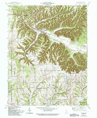
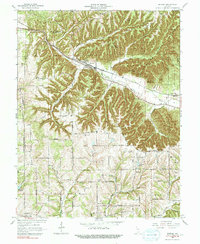
1966 Map of Borden
USGS Topo · Published 1993About this map
New Providence (Borden) serves as the primary hub of activity in this section of Southern Indiana, situated along the Louisville and Nashville railroad. The landscape is defined by the incision of Muddy Fork and its various tributaries like Souders Branch and Fordyce Branch, which cut through high terrain marked by prominent points such as Cubby House Hill and Wieseka Knob. This 1966 revision reflects a rural network of small communities and crossroads settlements, including Starlight and Scottsville, where social life centered around local landmarks like the St Johns Sch and Emmanuel Ch.
Find a feature on this map
56 named features on this map. Tap any name to fly to it.
Don’t see what you’re looking for? This feature index may not catch every label — zoom into the map to look around manually.
Map Details
Editions of this 1966 Borden Map
5 editions found
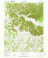
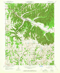
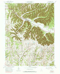
Other maps of this area

1938 · Speed
USGS Topo · 1:24,000

1939 · New Albany
USGS Topo · 1:24,000

1939 · Georgetown
USGS Topo · 1:24,000

1941 · Borden
USGS Topo · 1:24,000

1946 · New Albany
USGS Topo · 1:24,000

1947 · Speed
USGS Topo · 1:24,000

1947 · Georgetown
USGS Topo · 1:24,000

1949 · Henryville
USGS Topo · 1:24,000

1949 · Georgetown
USGS Topo · 1:24,000

1950 · Salem
USGS Topo · 1:24,000