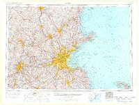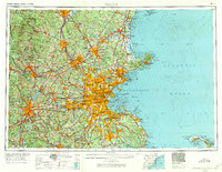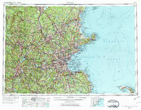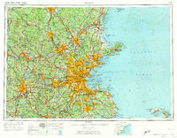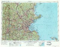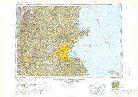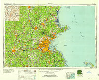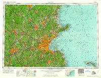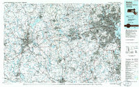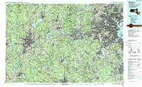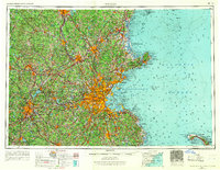
1956 Map of Boston
USGS Topo · Published 1967This historical map portrays the area of Boston in 1956, primarily covering Suffolk County as well as portions of Connecticut, New Hampshire, Maine, and Rhode Island. Featuring a scale of 1:250000, this map provides a highly detailed snapshot of the terrain, roads, buildings, counties, and historical landmarks in the Boston region at the time. Published in 1967, it is one of 6 known editions of this map due to revisions or reprints.
Map Details
Editions of this 1956 Boston Map
6 editions found
Historical Maps of Boston Through Time
9 maps found
Featured Locations
- Boston, MA
- Barnstable County, MA
- Bristol County, MA
- Bristol County, RI
- Cheshire County, NH
- Essex County, MA
- Hillsborough County, NH
- Middlesex County, CT
- Middlesex County, MA
- Norfolk County, MA
- Plymouth County, MA
- Providence County, RI
- Rockingham County, NH
- Suffolk County, MA
- Windham County, CT
- Worcester County, MA
- York County, ME
- Connecticut
- Maine
- Massachusetts
- New Hampshire
- Rhode Island
Source Details




1956 Map of Boston - Wall Art
Limited time deal
-20%$31.20 USD
Was $39.00
Elevate your space or surprise a special someone with a stunning museum-quality map print.
Professionally curated for visual appeal
Your map will be gorgeous and historically accurate
Museum-grade quality
Professionally printed with Epson Ultrachrome GS3 ink on thick matte paper, yielding brilliant colors and details
