Loading...
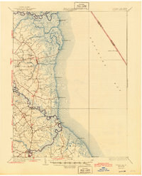
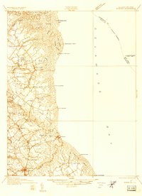
Loading map...1936 Map of Bowers
USGS Topo · Published 1945About this map
St Jones Neck and Murderkill Neck dominate this mid-century view of the Kent County shoreline, where salt marshes and tidal branches meet the Delaware Bay. The landscape is defined by its early religious and educational hubs, notably Barratts Chapel and the Friends Meetinghouse, alongside numerous local schools like White Oak Sch and St Jones Sch. These landmarks anchored the small farming and fishing communities of the era.
Find a feature on this map
57 named features on this map. Tap any name to fly to it.
Don’t see what you’re looking for? This feature index may not catch every label — zoom into the map to look around manually.
Map Details
Date Portrayed1936
Date Published1945
PublisherU.S. Geological Survey
Map TypeTopographic
Scale1:62,500
Physical Dimensions17 x 21.1 inches
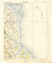
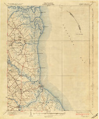
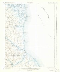
Editions of this 1936 Bowers Map
4 editions found
Historical Maps of Dover Through Time
Featured Locations
Source Details
SourceU.S. Geological Survey
CopyrightPublic Domain