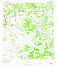
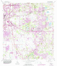
1956 Map of Brandon
USGS Topo · Published 1965About this map
Brandon and its surrounding orange groves and wetlands appear here in the mid-1950s, a landscape defined by phosphate-rich soils and a complex network of small lakes. The area south of the Atlantic Coast Line railroad is a dense collection of named water bodies, including Mango Lake, Valrico Lake, and the cluster containing Gornto Lake and Tenmile Lake. These features, along with early phosphate infrastructure like the Strip Mine near Mango, illustrate the region's transition from a rural citrus-and-mining hub toward the suburban growth of eastern Hillsborough County.
Find a feature on this map
47 named features on this map. Tap any name to fly to it.
Don’t see what you’re looking for? This feature index may not catch every label — zoom into the map to look around manually.
Map Details
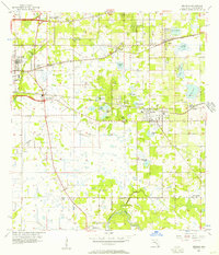
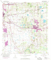
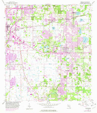
Editions of this 1956 Brandon Map
5 editions found
Other maps of this area

1921 · Tampa
USGS Topo · 1:62,500

1943 · Thonotosassa
USGS Topo · 1:24,000

1944 · Sulphur Springs
USGS Topo · 1:31,680

1944 · Mango
USGS Topo · 1:31,680

1944 · Tampa
USGS Topo · 1:31,680

1944 · Thonotosassa
USGS Topo · 1:31,680

1944 · Antioch
USGS Topo · 1:31,680

1944 · Balm
USGS Topo · 1:31,680

1945 · Gadsden Point
USGS Topo · 1:31,680

1945 · Sulphur Springs
USGS Topo · 1:31,680