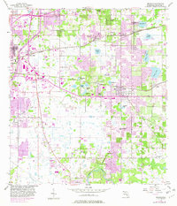
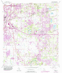
1956 Map of Brandon
USGS Topo · Published 1982About this map
The Alafia River winds through the southern portion of this landscape, anchoring settlements like Riverview and Bloomingdale during a period of significant suburban expansion in Hillsborough County. While the original 1955-1956 survey captures the established rural character of communities like Seffner and Valrico, purple overprints added in the early 1980s document the rapid sprawl of Brandon and the extension of the Tampa City Boundary.
Find a feature on this map
44 named features on this map. Tap any name to fly to it.
Don’t see what you’re looking for? This feature index may not catch every label — zoom into the map to look around manually.
Map Details
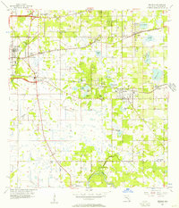
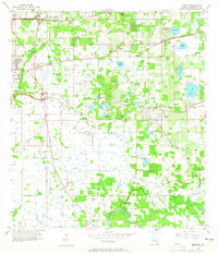
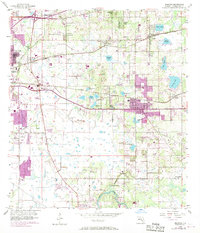
Editions of this 1956 Brandon Map
5 editions found
Other maps of this area

1921 · Tampa
USGS Topo · 1:62,500

1943 · Thonotosassa
USGS Topo · 1:24,000

1944 · Sulphur Springs
USGS Topo · 1:31,680

1944 · Mango
USGS Topo · 1:31,680

1944 · Tampa
USGS Topo · 1:31,680

1944 · Thonotosassa
USGS Topo · 1:31,680

1944 · Antioch
USGS Topo · 1:31,680

1944 · Balm
USGS Topo · 1:31,680

1945 · Gadsden Point
USGS Topo · 1:31,680

1945 · Sulphur Springs
USGS Topo · 1:31,680