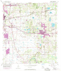
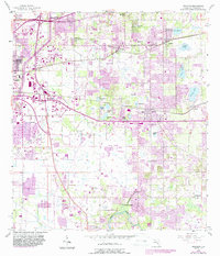
1956 Map of Brandon
USGS Topo · Published 1970About this map
Brandon sits at the heart of this landscape, shown during a period of suburban expansion into the surrounding citrus groves and wetlands of Hillsborough County. The town is flanked by established smaller communities like Seffner and Limona to the north and Valrico to the east. Transportation and industry are defined by the Seaboard Coast Line railroad, which cuts through the northern half of the area, and the presence of a Strip Mine near Mango Hills. Toward the south, the terrain descends toward the Alafia River and the settlement of Riverview. This river corridor is rich with historical markers for genealogists, including the Providence Ch, Hackney Cem, and the waters of Buckhorn Spring. The map documents the intricate hydrology of the region, from the cypress-lined Sixmile Creek to numerous sinkhole lakes like Mango Lake and Lake Weeks.
Find a feature on this map
50 named features on this map. Tap any name to fly to it.
Don’t see what you’re looking for? This feature index may not catch every label — zoom into the map to look around manually.
Map Details
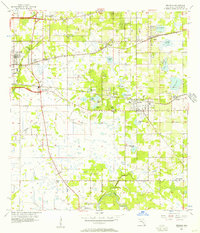
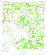
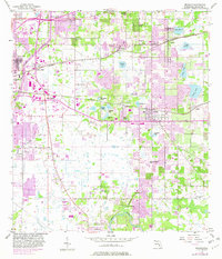
Editions of this 1956 Brandon Map
5 editions found
Other maps of this area

1921 · Tampa
USGS Topo · 1:62,500

1943 · Thonotosassa
USGS Topo · 1:24,000

1944 · Sulphur Springs
USGS Topo · 1:31,680

1944 · Mango
USGS Topo · 1:31,680

1944 · Tampa
USGS Topo · 1:31,680

1944 · Thonotosassa
USGS Topo · 1:31,680

1944 · Antioch
USGS Topo · 1:31,680

1944 · Balm
USGS Topo · 1:31,680

1945 · Gadsden Point
USGS Topo · 1:31,680

1945 · Sulphur Springs
USGS Topo · 1:31,680