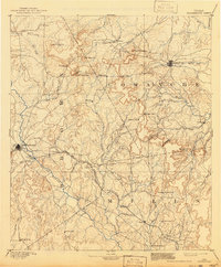
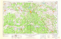
1954 Map of Brownwood
USGS Topo · Published 1955This historical map portrays the area of Brownwood in 1954, primarily covering Brown County as well as portions of Burnet County, Menard County, Erath County, Comanche, Runnels County, Hamilton County, Coleman, McCulloch County, Coryell County, Lampasas, San Saba County, Mills County, and Concho County. Featuring a scale of 1:250000, this map provides a highly detailed snapshot of the terrain, roads, buildings, counties, and historical landmarks in the Brownwood region at the time. Published in 1955, it is one of 3 known editions of this map due to revisions or reprints.
Find a feature on this map
118 named features on this map. Tap any name to fly to it.
Don’t see what you’re looking for? This feature index may not catch every label — zoom into the map to look around manually.
Map Details
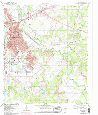
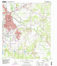
Editions of this 1954 Brownwood Map
3 editions found
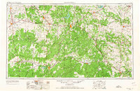
Historical Maps of Carlton Through Time
5 maps found