
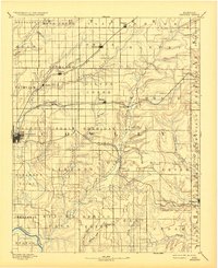
1889 Map of Burden
USGS Topo · Published 1889About this map
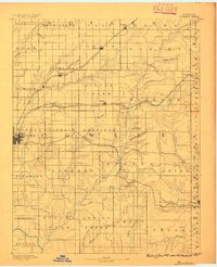
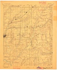
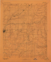
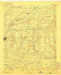
Winfield serves as a primary regional hub on this late 19th-century survey of Cowley County, Kansas. The landscape is defined by the rapid expansion of rail infrastructure, with three major lines—the Kansas City and South Western Railroad, the Southern Kansas Railroad, and the Denver Memphis and Atlantic Railroad—intersecting the prairies to connect frontier settlements. Towns like Burden, Dexter, and Atlanta appear at critical junctions and river crossings, while smaller locales such as Floral and Torrance represent the era's agricultural footprint.
Find a feature on this map
68 named features on this map. Tap any name to fly to it.
Don’t see what you’re looking for? This feature index may not catch every label — zoom into the map to look around manually.
Map Details
Editions of this 1889 Burden Map
6 editions found
Other maps of this area

1885 · Eureka
USGS Topo · 1:125,000

1885 · Sedan
USGS Topo · 1:125,000

1888 · Eureka
USGS Topo · 1:125,000

1888 · Eldorado
USGS Topo · 1:125,000

1889 · Sedan
USGS Topo · 1:125,000

1889 · Wichita
USGS Topo · 1:125,000

1890 · Wellington
USGS Topo · 1:125,000

1894 · Wichita
USGS Topo · 1:125,000

1894 · Eureka
USGS Topo · 1:125,000

1909 · Pawhuska
USGS Topo · 1:125,000