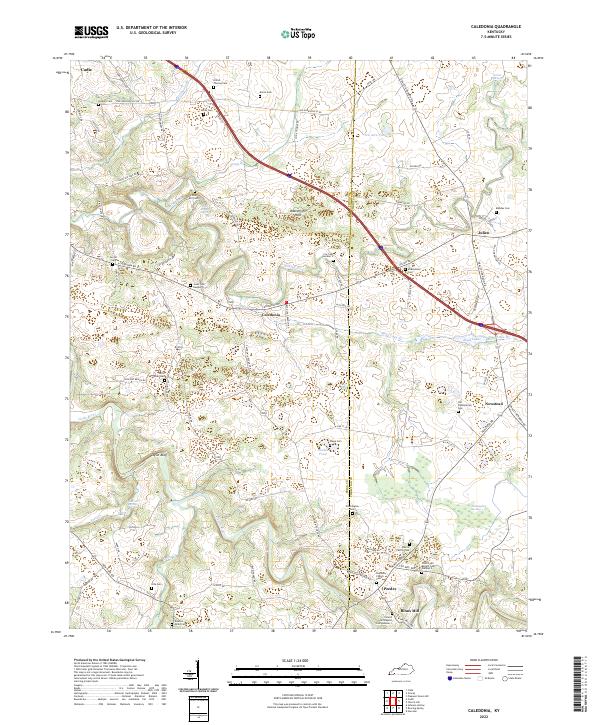
2022 Map of Caledonia
USGS Topo · Published 2022About this map
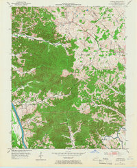
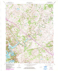
The Trigg Co Christian Co boundary bisects this western Kentucky landscape, where karst features like Cool Cave Spring and Sinking Fork define the local drainage. Small rural communities such as Caledonia and Peedee are interconnected by a dense network of country roads, including the Old Hopkinsville Rd and Newstead Rd. The map is particularly dense with family-named burial grounds and historical markers, such as the Alfred Thomas Cem and Nance Family Cem, which reflect generations of settlement near the meandering path of the Little River.
Find a feature on this map
88 named features on this map. Tap any name to fly to it.
Don’t see what you’re looking for? This feature index may not catch every label — zoom into the map to look around manually.
Map Details
Editions of this 2022 Caledonia Map
This is the sole edition of this map. No revisions or reprints were ever made.
Historical Maps of Julien Through Time
27 maps found
1936 Fenton
Trigg County, KY

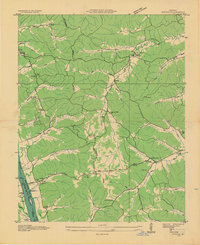
1950 Caledonia
Trigg County, KY
1950 Fenton
Trigg County, KY

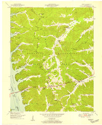
1951 Caledonia
Trigg County, KY

1951 Johnson Hollow
Trigg County, KY

1951 Model
Trigg County, KY

1951 Roaring Spring
Trigg County, KY
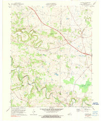
1953 Canton
Trigg County, KY

1953 Cobb
Trigg County, KY
1953 Lamasco
Trigg County, KY
1957 Johnson Hollow
Trigg County, KY

1957 Model
Trigg County, KY
1957 Roaring Spring
Trigg County, KY
1967 Canton
Trigg County, KY
1967 Cobb
Trigg County, KY
1967 Fenton
Trigg County, KY
1967 Lamasco
Trigg County, KY
1967 Linton
Trigg County, KY
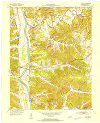
1974 Caledonia
Trigg County, KY
2022 Caledonia
Trigg County, KY
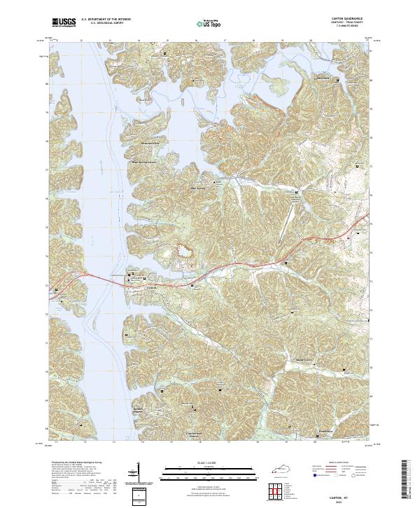
2022 Canton
Trigg County, KY
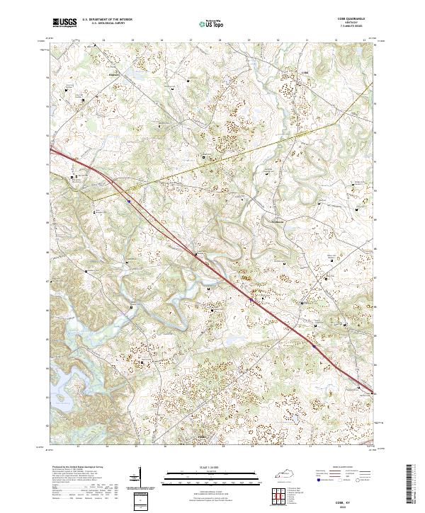
2022 Cobb
Trigg County, KY
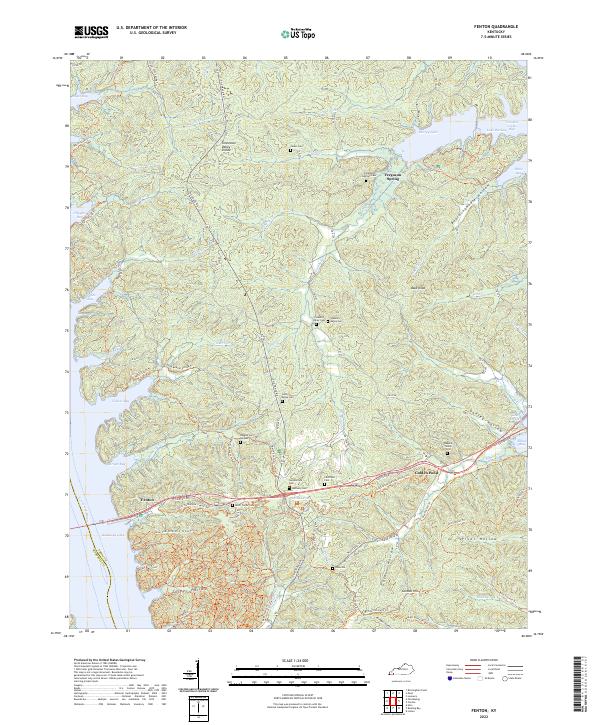
2022 Fenton
Trigg County, KY
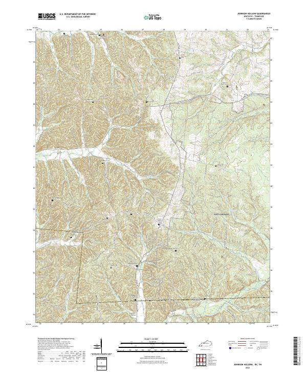
2022 Johnson Hollow
Trigg County, KY

2022 Lamasco
Trigg County, KY
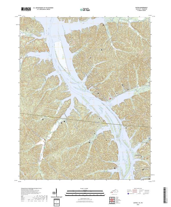
2022 Linton
Trigg County, KY
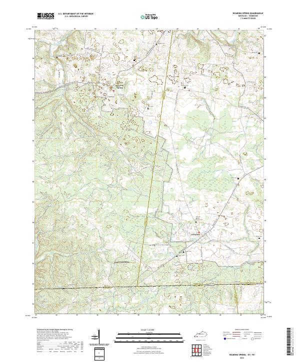
2022 Roaring Spring
Trigg County, KY