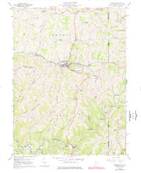
1960 Map of Cameron
USGS Topo · Published 1977About this map
Cameron serves as the central hub of this topography, situated where Grave Creek and its tributaries carve through the upland ridges of Marshall County. The landscape is defined by the heavy infrastructure of the Baltimore and Ohio railroad and a network of energy developments, including an extensive Gas Field and numerous labeled Oil Wells. Narrow valley floors host small settlements like Woodruff and Bellton, while the higher elevations are marked by traditional landmarks such as Mount Carmel church and Highland Cemetery. The map captures a transition in the rural economy, where small-scale farming footprints, indicated by visible fence and field lines, exist alongside modern industrial pumping and compressor stations. Steep ridges like Cameron Ridge and Spring Hill hem in the winding courses of Fish Creek and North Fork Grave Creek, illustrating the difficult terrain that shaped the region's transport routes.
Find a feature on this map
58 named features on this map. Tap any name to fly to it.
Don’t see what you’re looking for? This feature index may not catch every label — zoom into the map to look around manually.
Map Details
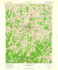
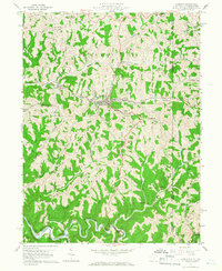
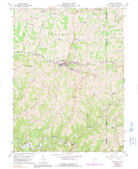
Editions of this 1960 Cameron Map
4 editions found
Other maps of this area

1903 · Littleton
USGS Topo · 1:62,500

1904 · Cameron
USGS Topo · 1:62,500

1905 · Mannington
USGS Topo · 1:62,500

1905 · Rogersville
USGS Topo · 1:62,500

1905 · Littleton
USGS Topo · 1:62,500

1923 · Mannington
USGS Topo · 1:62,500

1924 · Littleton
USGS Topo · 1:62,500

1926 · Littleton
USGS Topo · 1:62,500

1926 · Mannington
USGS Topo · 1:62,500

1935 · Cameron
USGS Topo · 1:62,500