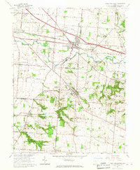
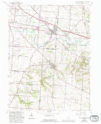
1966 Map of Canal Winchester
USGS Topo · Published 1967About this map
Walnut Creek and the Chesapeake and Ohio railroad corridor define the geography of this mid-1960s survey of the Franklin and Fairfield county borderlands. The village of Canal Winchester serves as a central hub, flanked by the smaller settlements of Waterloo and Lithopolis. The landscape reflects a mix of growing residential areas and traditional rural infrastructure, including several family-named landmarks and cemeteries such as Union Grove Cem and Bixby Cem. Significant land use is marked by the presence of Slate Run Park and Chestnut Ridge Park, while the Norfolk and Western Railroad traverses the southern reaches. Local history and genealogy researchers can find specific memorial sites like Arlington Burial Park and the Franklinton Hills Memory Garden, alongside functional landmarks like the Water Tank in Lithopolis and the Airway Beacon near Groveport.
Find a feature on this map
60 named features on this map. Tap any name to fly to it.
Don’t see what you’re looking for? This feature index may not catch every label — zoom into the map to look around manually.
Map Details
Editions of this 1966 Canal Winchester Map
5 editions found
Other maps of this area

1907 · Lancaster
USGS Topo · 1:62,500

1907 · Thurston
USGS Topo · 1:62,500

1909 · Lancaster
USGS Topo · 1:62,500

1909 · Thurston
USGS Topo · 1:62,500

1914 · Circleville
USGS Topo · 1:62,500

1925 · East Columbus
USGS Topo · 1:62,500

1943 · Circleville
USGS Topo · 1:62,500

1943 · East Columbus
USGS Topo · 1:62,500

1947 · Columbus
USGS Topo · 1:250,000
1955 · Lockbourne
USGS Topo · 1:24,000