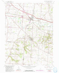
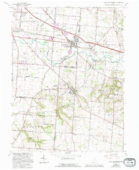
1966 Map of Canal Winchester
USGS Topo · Published 1991About this map
Canal Winchester and its surrounding townships sit at a point of transition where the expanding suburban footprint meets the agricultural landscapes of the mid-1960s. The village of Lithopolis is a focal point of local heritage, featuring the landmark The Wagnalls Memorial and a centralized Cemetery. To the south, the terrain rises into the prominent Chestnut Ridge, which hosts the Chestnut Ridge Metropolitan Park, while the southern reaches near Slate Run are preserved within the Slate Run Metropolitan Park.
Find a feature on this map
56 named features on this map. Tap any name to fly to it.
Don’t see what you’re looking for? This feature index may not catch every label — zoom into the map to look around manually.
Map Details
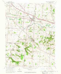
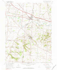
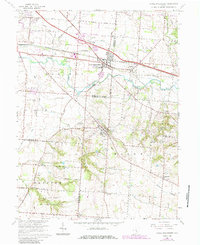
Editions of this 1966 Canal Winchester Map
5 editions found
Other maps of this area

1907 · Lancaster
USGS Topo · 1:62,500

1907 · Thurston
USGS Topo · 1:62,500

1909 · Lancaster
USGS Topo · 1:62,500

1909 · Thurston
USGS Topo · 1:62,500

1914 · Circleville
USGS Topo · 1:62,500

1925 · East Columbus
USGS Topo · 1:62,500

1943 · Circleville
USGS Topo · 1:62,500

1943 · East Columbus
USGS Topo · 1:62,500

1947 · Columbus
USGS Topo · 1:250,000
1955 · Lockbourne
USGS Topo · 1:24,000