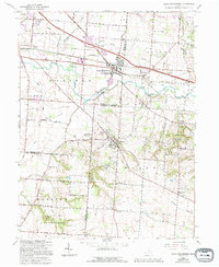
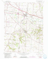
1966 Map of Canal Winchester
USGS Topo · Published 1994About this map
Canal Winchester and Groveport center this 1966 landscape, illustrating the suburban evolution of central Ohio as development began to expand toward the Franklin Co Fairfield Co border. The map documents the persistent industrial and civic presence of the Ohio Central Railroad and landmarks like The Wagnalls Memorial in Lithopolis. While newer infrastructure is shown through 1980s photorevisions, the underlying survey preserves the historical rural character of the area, defined by family-named roads like Lehman Road and Neiswander Road.
Find a feature on this map
51 named features on this map. Tap any name to fly to it.
Don’t see what you’re looking for? This feature index may not catch every label — zoom into the map to look around manually.
Map Details
Editions of this 1966 Canal Winchester Map
5 editions found
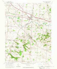
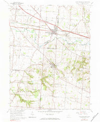
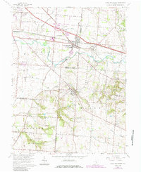
Other maps of this area

1907 · Lancaster
USGS Topo · 1:62,500

1907 · Thurston
USGS Topo · 1:62,500

1909 · Lancaster
USGS Topo · 1:62,500

1909 · Thurston
USGS Topo · 1:62,500

1914 · Circleville
USGS Topo · 1:62,500

1925 · East Columbus
USGS Topo · 1:62,500

1943 · Circleville
USGS Topo · 1:62,500

1943 · East Columbus
USGS Topo · 1:62,500

1947 · Columbus
USGS Topo · 1:250,000
1955 · Lockbourne
USGS Topo · 1:24,000