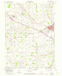
1961 Map of Carey
USGS Topo · Published 1973About this map
The village of Carey serves as a significant rail junction on this survey, where the Penn Central and Chesapeake and Ohio lines intersect. To the west, the smaller settlement of Vanlue anchors the landscape near the Amazing Grace Tabernacle. The surrounding countryside of Wyandot and Hancock Counties is defined by its religious and civic foundations, marked by numerous rural meeting places like Ridge Chapel, Stony Ridge Ch, and St Pauls Ch.
Find a feature on this map
52 named features on this map. Tap any name to fly to it.
Don’t see what you’re looking for? This feature index may not catch every label — zoom into the map to look around manually.
Map Details
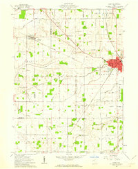
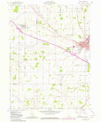
Editions of this 1961 Carey Map
3 editions found
Other maps of this area

1901 · Fostoria
USGS Topo · 1:62,500

1903 · Fostoria
USGS Topo · 1:62,500

1903 · Findlay
USGS Topo · 1:62,500

1905 · Arlington
USGS Topo · 1:62,500

1907 · Arlington
USGS Topo · 1:24,000

1907 · Upper Sandusky
USGS Topo · 1:62,500

1950 · Marion
USGS Topo · 1:250,000

1956 · Toledo
USGS Topo · 1:250,000

1960 · Alvada
USGS Topo · 1:24,000
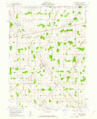
1960 · New Riegel
USGS Topo · 1:24,000