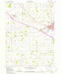
1961 Map of Carey
USGS Topo · Published 1980About this map
The Old Indian Treaty Boundary slices diagonally through this agricultural landscape, a persistent line from an earlier era that still dictates the property lines and road alignments between Vanlue and Carey. The village of Carey serves as a significant rail junction where the Conrail and Chesapeake and Ohio lines meet, supporting local industry including a large Quarry on the eastern edge of town. Educational and spiritual life is well-documented through landmarks like the West End Sch and numerous country churches such as St Pauls Ch and the Amazing Grace Tabernacle. The terrain is defined by a network of drainage improvements, notably the Akron Canton and Youngstown Ditch, which manage the water levels of the surrounding Big Spring and Big Lick areas. To the southeast, the Wyandot Wildlife Area provides a contrast to the geometric patterns of the surrounding family farms and named roads like Statler Road.
Find a feature on this map
57 named features on this map. Tap any name to fly to it.
Don’t see what you’re looking for? This feature index may not catch every label — zoom into the map to look around manually.
Map Details
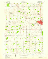
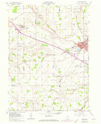
Editions of this 1961 Carey Map
3 editions found
Other maps of this area

1901 · Fostoria
USGS Topo · 1:62,500

1903 · Fostoria
USGS Topo · 1:62,500

1903 · Findlay
USGS Topo · 1:62,500

1905 · Arlington
USGS Topo · 1:62,500

1907 · Arlington
USGS Topo · 1:24,000

1907 · Upper Sandusky
USGS Topo · 1:62,500

1950 · Marion
USGS Topo · 1:250,000

1956 · Toledo
USGS Topo · 1:250,000

1960 · Alvada
USGS Topo · 1:24,000
1960 · New Riegel
USGS Topo · 1:24,000