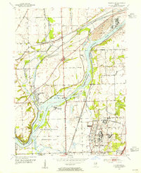
1954 Map of Channahon
USGS Topo · Published 1955About this map
The convergence of the Du Page River and the Des Plaines River defines the landscape of this 1950s Will County survey. The village of Channahon sits at this hydrologic crossroads, where the historical Michigan and Mississippi Canal and numerous waterway modifications like the Kankakee Cut-Off trace the area's transition into a major transportation corridor. The map reveals a mid-century balance between industrial infrastructure, such as the numerous Gravel Pit operations and the Pumping Sta, and preserved natural spaces including the extensive Des Plaines Wildlife Conservation Area. Local genealogy is well-represented through family-named landmarks and resting places, from Schweizer Sch to Willard Grove Cem and Troutman Grove Cem. Small railway stops and settlements like Millsdale, Drummond, and Blodgett appear along the rail lines that parallel the river valleys.
Find a feature on this map
34 named features on this map. Tap any name to fly to it.
Don’t see what you’re looking for? This feature index may not catch every label — zoom into the map to look around manually.
Map Details
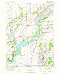
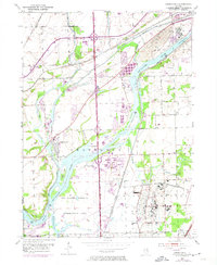
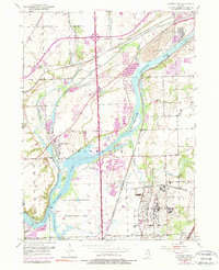
Editions of this 1954 Channahon Map
4 editions found
Other maps of this area

1892 · Morris
USGS Topo · 1:62,500

1892 · Joliet
USGS Topo · 1:62,500

1892 · Wilmington
USGS Topo · 1:62,500

1918 · Wilmington
USGS Topo · 1:62,500

1918 · Morris
USGS Topo · 1:62,500

1923 · Joliet
USGS Topo · 1:62,500

1925 · Yorkville
USGS Topo · 1:62,500

1953 · Yorkville SE
USGS Topo · 1:24,000

1953 · Coal City
USGS Topo · 1:24,000

1953 · Symerton
USGS Topo · 1:24,000