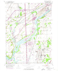
1954 Map of Channahon
USGS Topo · Published 1974About this map
The Des Plaines River and Du Page River converge in this mid-century portrait of a landscape defined by water and heavy rail. Near the settlement of Channahon, the historic Michigan and Illinois Canal runs parallel to the riverbanks, reflecting an era of evolving transit before modern interstate dominance. The map details a heavy industrial and conservation corridor, specifically the Des Plaines Wildlife Conservation Area, which occupies much of the river's lower reaches.
Find a feature on this map
35 named features on this map. Tap any name to fly to it.
Don’t see what you’re looking for? This feature index may not catch every label — zoom into the map to look around manually.
Map Details
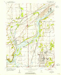
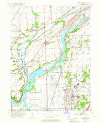
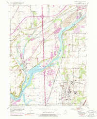
Editions of this 1954 Channahon Map
4 editions found
Other maps of this area

1892 · Morris
USGS Topo · 1:62,500

1892 · Joliet
USGS Topo · 1:62,500

1892 · Wilmington
USGS Topo · 1:62,500

1918 · Wilmington
USGS Topo · 1:62,500

1918 · Morris
USGS Topo · 1:62,500

1923 · Joliet
USGS Topo · 1:62,500

1925 · Yorkville
USGS Topo · 1:62,500

1953 · Yorkville SE
USGS Topo · 1:24,000

1953 · Coal City
USGS Topo · 1:24,000

1953 · Symerton
USGS Topo · 1:24,000