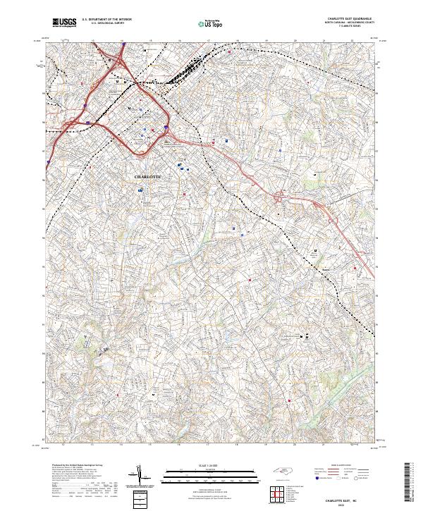
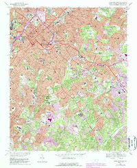
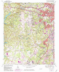
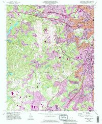
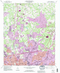
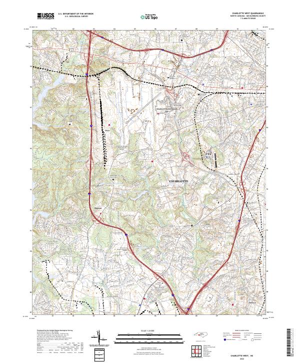
2022 Map of Charlotte East
USGS Topo · Published 2022About this map
Charlotte is captured here in immense detail, showing the city's modern urbanization alongside its deep genealogical roots. The central business district and the Mecklenburg County Courthouse anchor the northwestern portion of the sheet, where major transportation arteries like I-277 and the Seaboard Coast Line RR converge. The landscape is notably defined by its many historic burial grounds, including the Old Settlers Cem and the Sardis Slave Cem, providing researchers with a clear record of the area's social history.
Find a feature on this map
34 named features on this map. Tap any name to fly to it.
Don’t see what you’re looking for? This feature index may not catch every label — zoom into the map to look around manually.
Map Details
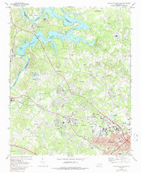
Editions of this 2022 Charlotte East Map
This is the sole edition of this map. No revisions or reprints were ever made.
Historical Maps of Castleton Gardens Through Time
25 maps found

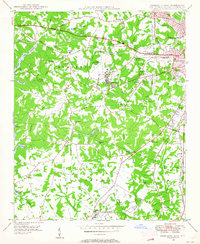
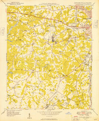
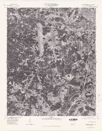
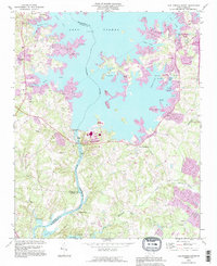
1948 Charlotte East
Mecklenburg County, NC
1948 Charlotte West
Mecklenburg County, NC
1948 Derita
Mecklenburg County, NC

1948 Paw Creek
Mecklenburg County, NC
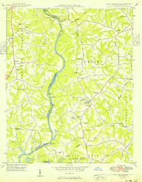
1949 Charlotte East
Mecklenburg County, NC
1949 Charlotte West
Mecklenburg County, NC
1949 Hicks Crossroads
Mecklenburg County, NC
1949 Wilgrove
Mecklenburg County, NC
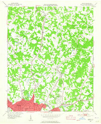
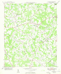
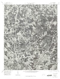
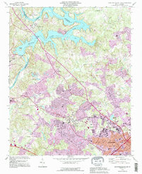
1967 Charlotte East
Mecklenburg County, NC
1968 Charlotte West
Mecklenburg County, NC
1969 Mountain Island Lake
Mecklenburg County, NC
1970 Lake Norman South
Mecklenburg County, NC
1972 Derita
Mecklenburg County, NC
1976 Charlotte West
Mecklenburg County, NC
1976 Derita
Mecklenburg County, NC
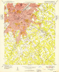
1993 Charlotte West
Mecklenburg County, NC
1993 Derita
Mecklenburg County, NC
1993 Lake Norman South
Mecklenburg County, NC
1993 Mountain Island Lake
Mecklenburg County, NC
1997 Mountain Island Lake
Mecklenburg County, NC
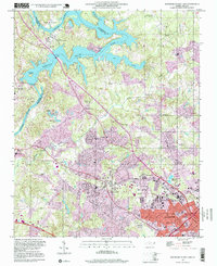
2022 Charlotte East
Mecklenburg County, NC
2022 Charlotte West
Mecklenburg County, NC
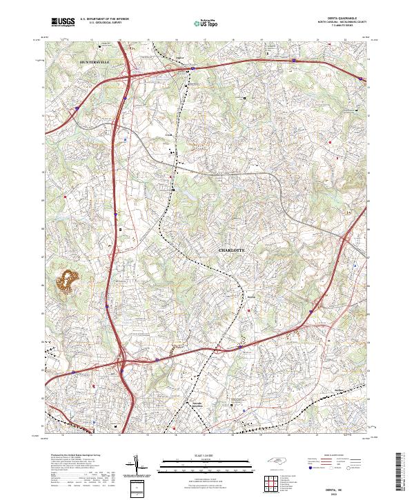
2022 Derita
Mecklenburg County, NC
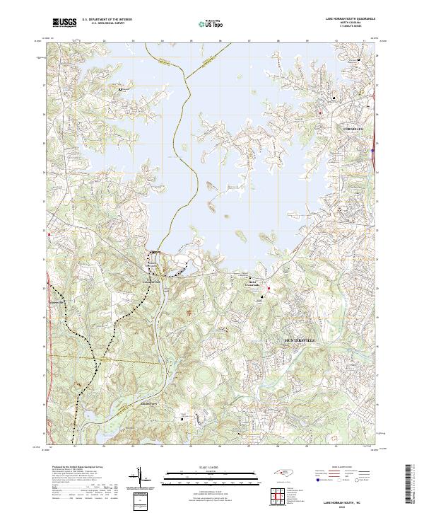
2022 Lake Norman South
Mecklenburg County, NC
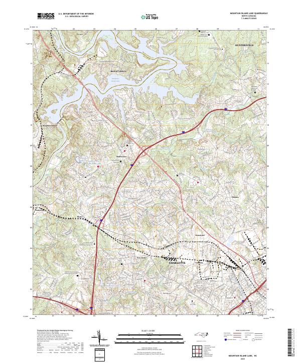
2023 Mountain Island Lake
Mecklenburg County, NC
Featured Locations
- Charlotte, NC
- Carmel Park, Charlotte
- Castleton Gardens, Charlotte
- Eastfield, Charlotte
- Providence Park, Charlotte