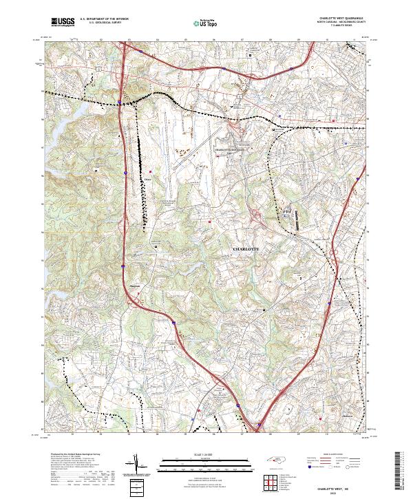
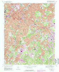
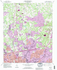
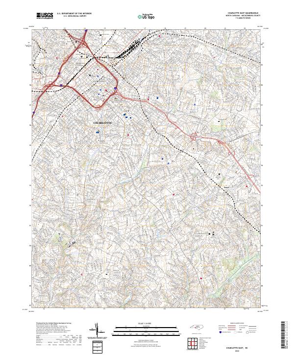
2022 Map of Charlotte West
USGS Topo · Published 2022About this map
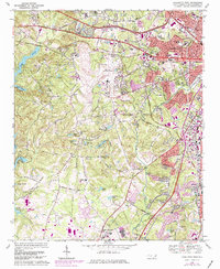
Charlotte/Douglas International Airport dominates the central landscape of this Mecklenburg County survey, illustrating the massive scale of modern aviation infrastructure south of Dixie. The map reveals a high density of historical religious sites, including the Steele Creek Church Cem and Mount Olive Presbyterian Cem, which anchor long-established communities like Shopton. These cemeteries and the many schools, such as the Central Piedmont Community College Harris Campus, sit amidst a complex hydrology of small lakes like Shoaf Lake and Whippoorwill Lake. The eastern edge shows the westward expansion of Charlotte, where industrial and academic institutions follow the corridors of the Norfolk Southern and major thoroughfares like Wilkinson Blvd.
Find a feature on this map
59 named features on this map. Tap any name to fly to it.
Don’t see what you’re looking for? This feature index may not catch every label — zoom into the map to look around manually.
Map Details
Editions of this 2022 Charlotte West Map
This is the sole edition of this map. No revisions or reprints were ever made.
Historical Maps of Taragate Farms Through Time
25 maps found

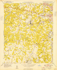
1948 Charlotte East
Mecklenburg County, NC
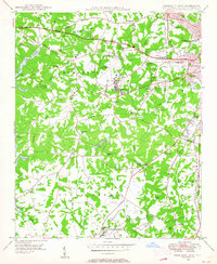
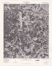
1948 Charlotte West
Mecklenburg County, NC
1948 Derita
Mecklenburg County, NC

1948 Paw Creek
Mecklenburg County, NC
1949 Charlotte East
Mecklenburg County, NC
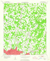
1949 Charlotte West
Mecklenburg County, NC
1949 Hicks Crossroads
Mecklenburg County, NC
1949 Wilgrove
Mecklenburg County, NC
1967 Charlotte East
Mecklenburg County, NC
1968 Charlotte West
Mecklenburg County, NC
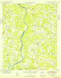
1969 Mountain Island Lake
Mecklenburg County, NC
1970 Lake Norman South
Mecklenburg County, NC
1972 Derita
Mecklenburg County, NC
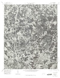
1976 Charlotte West
Mecklenburg County, NC
1976 Derita
Mecklenburg County, NC
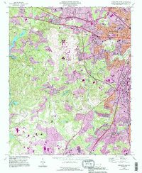
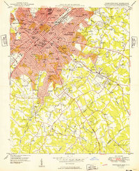
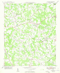
1993 Charlotte West
Mecklenburg County, NC
1993 Derita
Mecklenburg County, NC
1993 Lake Norman South
Mecklenburg County, NC
1993 Mountain Island Lake
Mecklenburg County, NC
1997 Mountain Island Lake
Mecklenburg County, NC
2022 Charlotte East
Mecklenburg County, NC
2022 Charlotte West
Mecklenburg County, NC
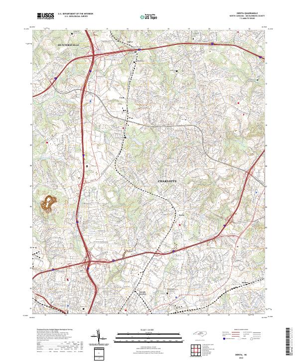
2022 Derita
Mecklenburg County, NC
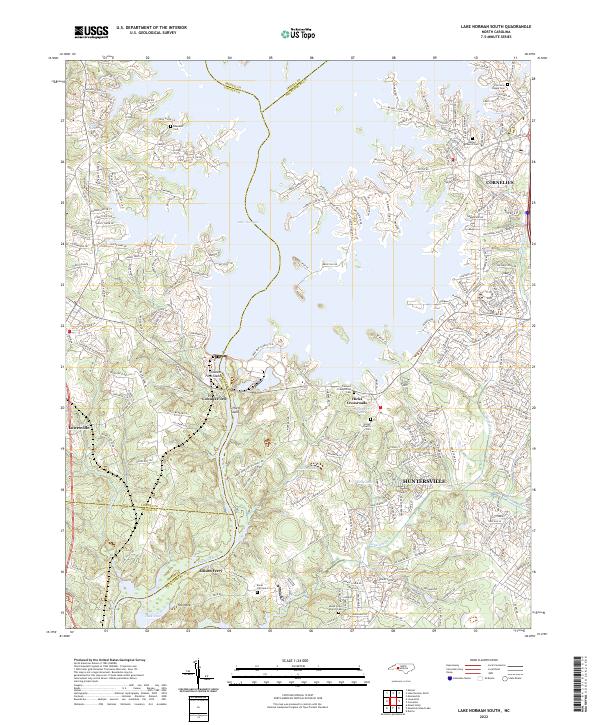
2022 Lake Norman South
Mecklenburg County, NC
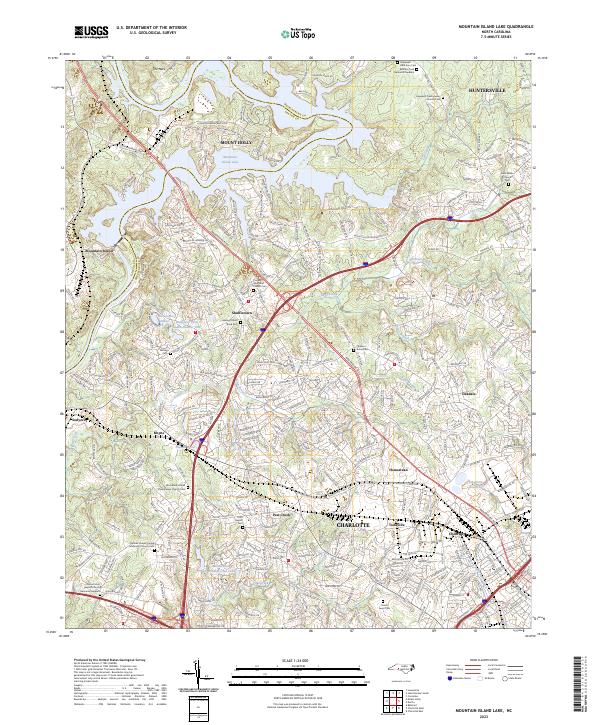
2023 Mountain Island Lake
Mecklenburg County, NC