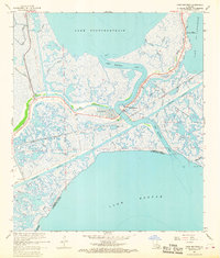
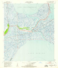
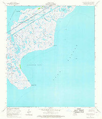
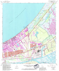
1967 Map of Chef Menteur
USGS Topo · Published 1968This historical map portrays the area of Chef Menteur in 1967, primarily covering Orleans Parish as well as portions of St. Bernard Parish. Featuring a scale of 1:24000, this map provides a highly detailed snapshot of the terrain, roads, buildings, counties, and historical landmarks in the Chef Menteur region at the time. Published in 1968, it is one of 4 known editions of this map due to revisions or reprints.
Find a feature on this map
34 named features on this map. Tap any name to fly to it.
Don’t see what you’re looking for? This feature index may not catch every label — zoom into the map to look around manually.
Map Details
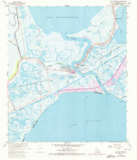
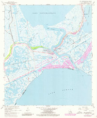
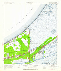
Editions of this 1967 Chef Menteur Map
4 editions found
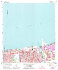
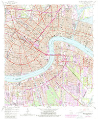
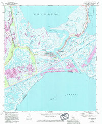
Historical Maps of Saint Bernard Parish Through Time
30 maps found
1892 Chef Menteur
Orleans Parish, LA

1932 New Orleans NE
Orleans Parish, LA

1936 Chef Menteur
Orleans Parish, LA

1936 South Point
Orleans Parish, LA

1937 Chef Menteur
Orleans Parish, LA

1938 Little Woods
Orleans Parish, LA

1938 Spanish Fort
Orleans Parish, LA

1939 New Orleans East
Orleans Parish, LA

1943 Little Woods
Orleans Parish, LA

1949 Alligator Point
Orleans Parish, LA
1951 Chef Menteur
Orleans Parish, LA
1951 Little Woods
Orleans Parish, LA
1951 New Orleans East
Orleans Parish, LA

1951 South Point
Orleans Parish, LA
1951 Spanish Fort
Orleans Parish, LA
1956 Alligator Point
Orleans Parish, LA
1965 Spanish Fort
Orleans Parish, LA
1966 New Orleans East
Orleans Parish, LA
1967 Chef Menteur
Orleans Parish, LA
1967 Little Woods
Orleans Parish, LA
1967 South Point
Orleans Parish, LA
1968 Alligator Point
Orleans Parish, LA

1969 Chef Menteur
Orleans Parish, LA

1992 New Orleans East
Orleans Parish, LA
1992 Spanish Fort
Orleans Parish, LA

1994 Alligator Point
Orleans Parish, LA

1998 Chef Menteur
Orleans Parish, LA

1998 Little Woods
Orleans Parish, LA

1998 New Orleans East
Orleans Parish, LA

1999 Spanish Fort
Orleans Parish, LA
Featured Locations
- Orleans Parish, LA
- New Orleans, LA
- Chef Menteur, New Orleans
- Venetian Isles, New Orleans
- Greens Ditch, New Orleans