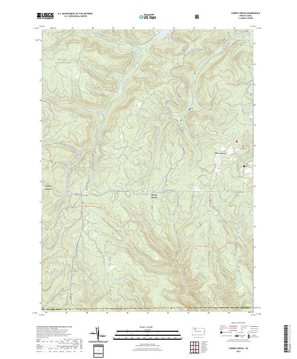
2023 Map of Cherry Grove
USGS Topo · Published 2023About this map
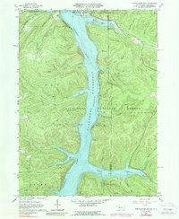
Allegheny National Forest dominates this portion of northwestern Pennsylvania, where the landscape is defined by the headwaters and tributaries of West Branch Tionesta Creek. The small settlement of Cherry Grove sits at a crossroads in the east, serving as a gateway to the high plateaus and deep drainages of the Hickory Creek Wilderness. This modern survey illustrates the balance between recreational use and nature preservation, featuring extensive trail networks like the North Country National Scenic Trl and the Tanbark Hiking Trl.
Find a feature on this map
42 named features on this map. Tap any name to fly to it.
Don’t see what you’re looking for? This feature index may not catch every label — zoom into the map to look around manually.
Map Details
Editions of this 2023 Cherry Grove Map
This is the sole edition of this map. No revisions or reprints were ever made.
Historical Maps of Pleasant Township Through Time
21 maps found

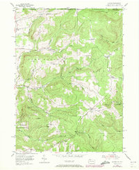
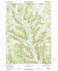
1947 Cherry Grove
Warren County, PA
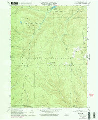
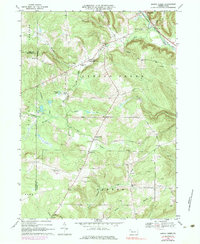
1954 Scandia
Warren County, PA
1966 Cherry Grove
Warren County, PA
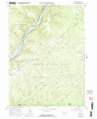
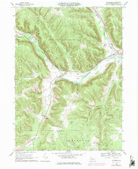
1966 Cobham
Warren County, PA
1966 Cornplanter Run
Warren County, PA
1966 Sheffield
Warren County, PA
1968 Columbus
Warren County, PA
1968 Grand Valley
Warren County, PA
1968 Lottsville
Warren County, PA
1968 Pittsfield
Warren County, PA
1968 Spring Creek
Warren County, PA
2023 Cherry Grove
Warren County, PA
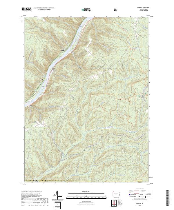
2023 Cobham
Warren County, PA
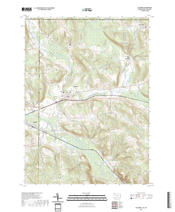
2023 Columbus
Warren County, PA
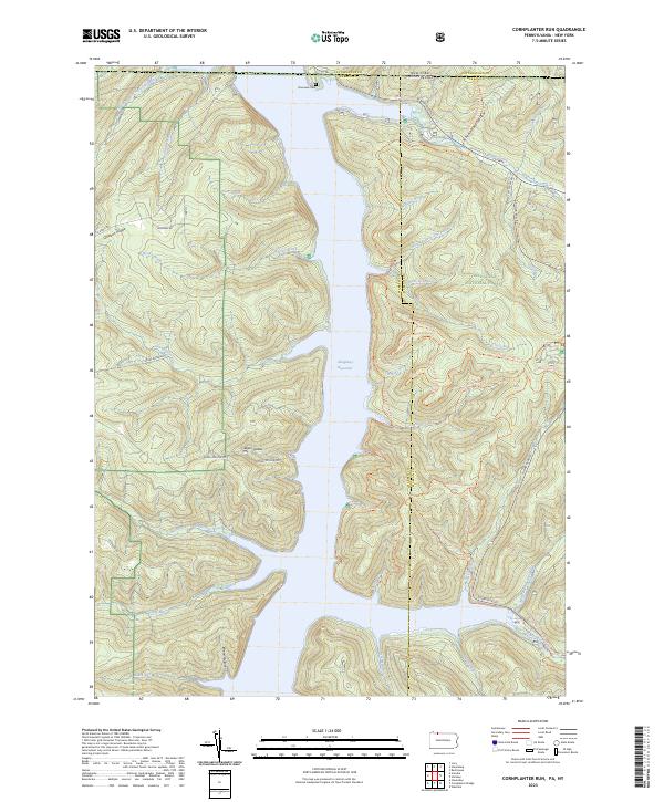
2023 Cornplanter Run
Warren County, PA
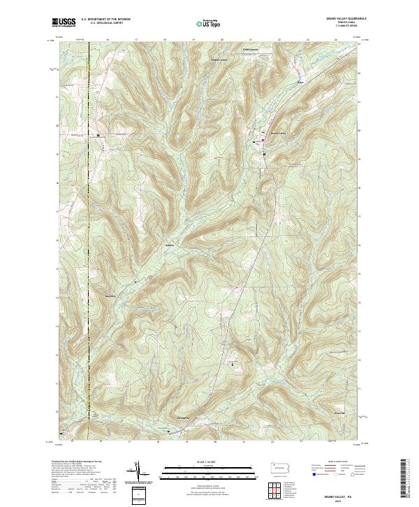
2023 Grand Valley
Warren County, PA
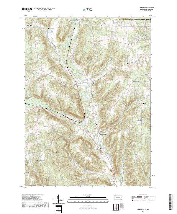
2023 Lottsville
Warren County, PA
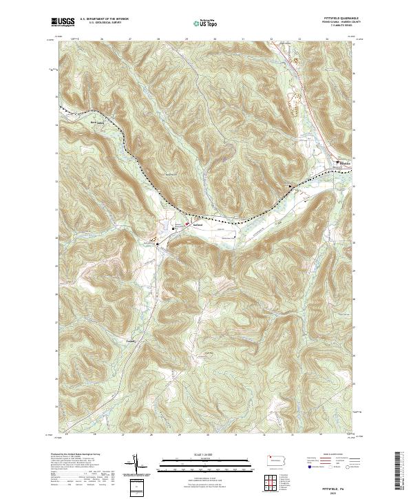
2023 Pittsfield
Warren County, PA
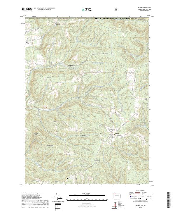
2023 Scandia
Warren County, PA
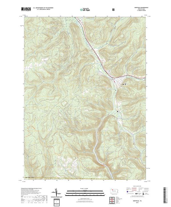
2023 Sheffield
Warren County, PA
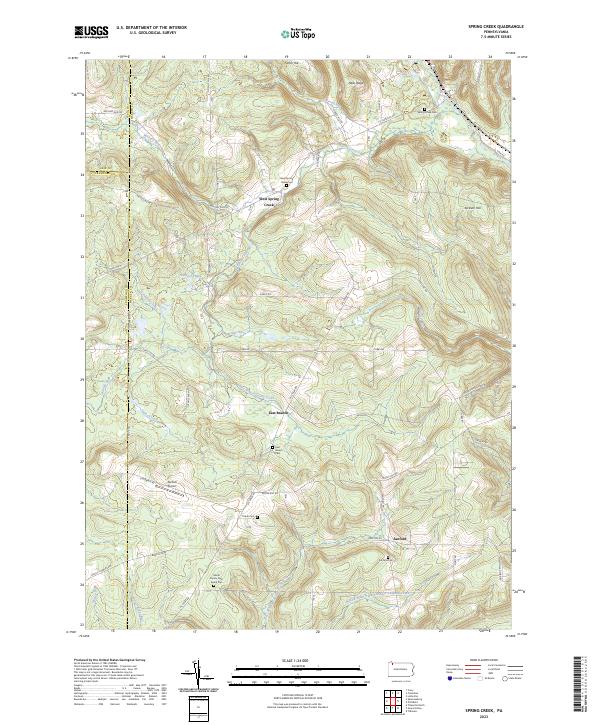
2023 Spring Creek
Warren County, PA
Featured Locations
- Howe Township, PA
- Kingsley Township, PA
- Pleasant Township, PA
- Cherry Grove Township, PA
- Mead Township, PA