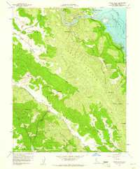
1958 Map of Chiles Valley
USGS Topo · Published 1961About this map
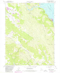
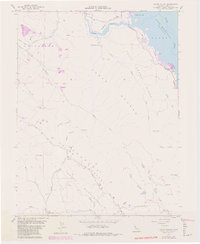
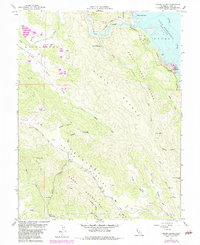
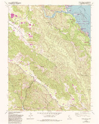
Chiles Valley and the surrounding Napa County highlands are defined by a complex drainage system flowing toward the recently formed Lake Berryessa. This late-1950s survey documents the landscape shortly after the Monticello Dam project altered the regional geography, noting the spillway elevation of the new reservoir. Evidence of the area's agricultural and resort history is scattered across the terrain, from the landmark Chiles Grist Mill along Chiles Creek to the secluded Samuel Springs and Rancho Monticello. The map tracks several rugged corridors such as Cedar Roughs and Trout Creek Ridge, while also detailing the western reach of Lake Hennessey. Geodetic markers like McCurdy VABM provide high-elevation reference points overlooking the intricate canyons of Husman and Wood.
Find a feature on this map
37 named features on this map. Tap any name to fly to it.
Don’t see what you’re looking for? This feature index may not catch every label — zoom into the map to look around manually.
Map Details
Editions of this 1958 Chiles Valley Map
8 editions found
Other maps of this area

1902 · Napa
USGS Topo · 1:125,000

1921 · Mt. Vaca
USGS Topo · 1:62,500

1924 · Capay
USGS Topo · 1:62,500

1942 · Sonoma
USGS Topo · 1:62,500

1942 · Mt. Vaca
USGS Topo · 1:62,500

1942 · St. Helena
USGS Topo · 1:62,500

1943 · Capay
USGS Topo · 1:62,500

1945 · Capay
USGS Topo · 1:62,500

1945 · St. Helena
USGS Topo · 1:62,500

1947 · Santa Rosa
USGS Topo · 1:250,000