
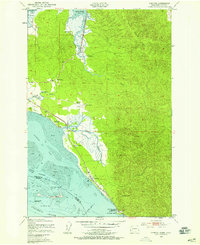
1949 Map of Chinook
USGS Topo · Published 1954About this map
Chinook stands at the mouth of the Columbia River along the Washington coast, serving as a focal point for maritime activity and agricultural settlement during the late 1940s. The landscape is defined by the sharp transition between the tidal flats of Baker Bay and the steep, forested slopes of Bear River Ridge. This period of Pacific County history is marked by a network of family-operated landholdings, including Gile Ranch, Christy Ranch, and Kyle Ranch, which are dispersed along the Bear River and Wallacut River basins.
Find a feature on this map
29 named features on this map. Tap any name to fly to it.
Don’t see what you’re looking for? This feature index may not catch every label — zoom into the map to look around manually.
Map Details
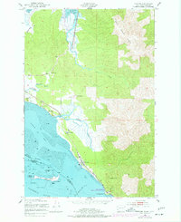
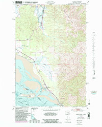
Editions of this 1949 Chinook Map
4 editions found
Other maps of this area

1919 · Astoria
USGS Topo · 1:62,500

1938 · Cape Disappointment
USGS Topo · 1:62,500

1938 · Fort Columbia
USGS Topo · 1:62,500

1939 · Astoria
USGS Topo · 1:62,500

1943 · Fort Columbia
USGS Topo · 1:62,500

1943 · Copalis Beach
USGS Topo · 1:250,000

1949 · Astoria
USGS Topo · 1:24,000

1949 · Oman Ranch
USGS Topo · 1:24,000

1949 · Knappton
USGS Topo · 1:24,000

1949 · Ocean Park
USGS Topo · 1:24,000