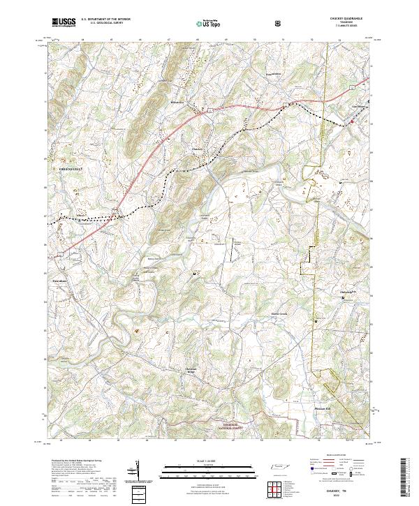
2022 Map of Chuckey
USGS Topo · Published 2022About this map
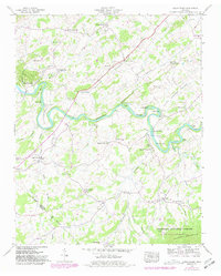
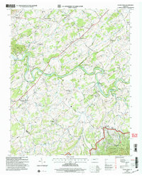
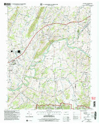
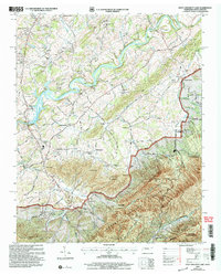
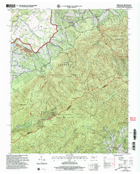
The Nolichucky River winds through the heart of this East Tennessee landscape, its course marked by numerous river features including H Earnests Shoals, Ripley Island, and Cane Island. The terrain is defined by the prominent Quaker Knobs and Chestnut Ridge, providing a topographic backdrop to a long-established network of rural settlements and transport corridors. The Norfolk Southern line parallels the Chuckey Pike, connecting the agricultural and residential hubs of Afton, Chuckey, and Rheatown.
Find a feature on this map
184 named features on this map. Tap any name to fly to it.
Don’t see what you’re looking for? This feature index may not catch every label — zoom into the map to look around manually.
Map Details
Editions of this 2022 Chuckey Map
This is the sole edition of this map. No revisions or reprints were ever made.
Historical Maps of Afton Through Time
30 maps found
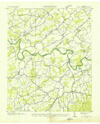
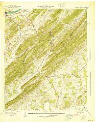
1935 Cedar Creek
Greene County, TN
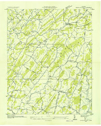
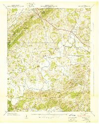
1935 Jearoldstown
Greene County, TN
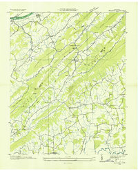
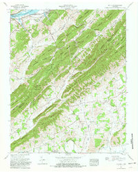
1935 McCloud
Greene County, TN
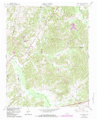
1935 Mohawk
Greene County, TN
1936 Chuckey
Greene County, TN
1936 Greystone
Greene County, TN
1936 Lake Davy Crockett
Greene County, TN
1939 Cedar Creek
Greene County, TN
1939 Chuckey
Greene County, TN
1939 Davy Crockett Lake
Greene County, TN
1939 Greystone
Greene County, TN
1939 Jearoldstown
Greene County, TN
1939 Mc Cloud
Greene County, TN
1939 Mohawk
Greene County, TN
1940 Davy Crockett Lake
Greene County, TN
1940 Mc Cloud
Greene County, TN
1940 Mohawk
Greene County, TN
1961 Mc Cloud
Greene County, TN
1966 Cedar Creek
Greene County, TN
2003 Cedar Creek
Greene County, TN
2003 Chuckey
Greene County, TN
2003 Davy Crockett Lake
Greene County, TN
2003 Greystone
Greene County, TN
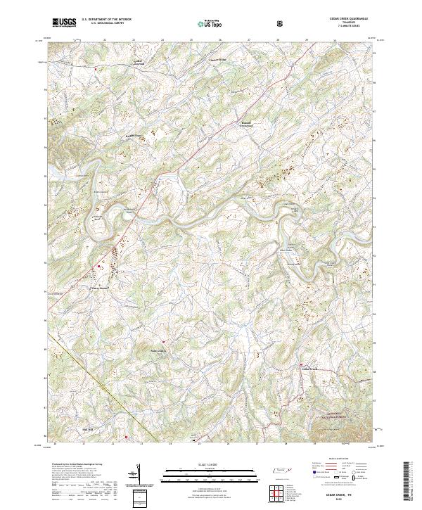
2022 Cedar Creek
Greene County, TN
2022 Chuckey
Greene County, TN
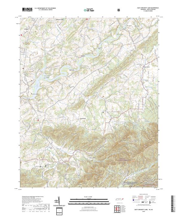
2022 Davy Crockett Lake
Greene County, TN
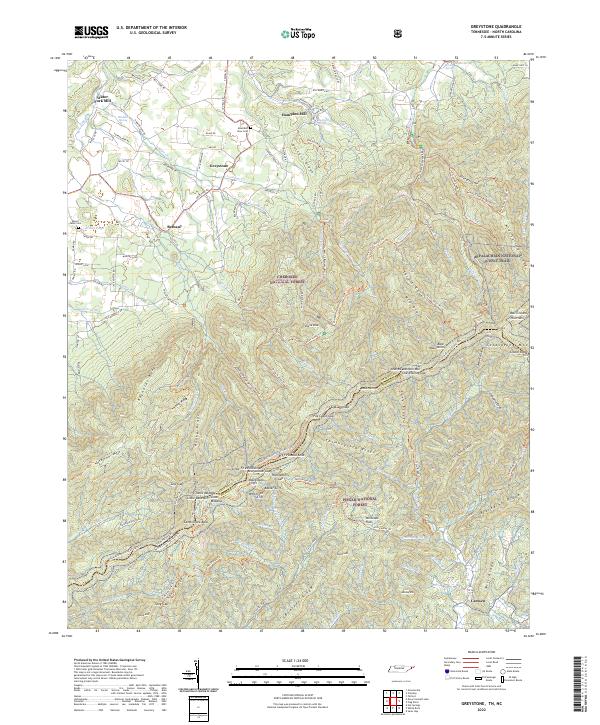
2022 Greystone
Greene County, TN
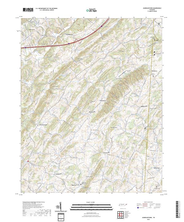
2022 Jearoldstown
Greene County, TN
2022 McCloud
Greene County, TN
2022 Mohawk
Greene County, TN