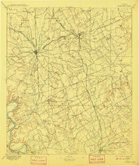
1894 Map of Cleburne
USGS Topo · Published 1908About this map
The rail hubs of Cleburne and Alvarado serve as central nodes in this late nineteenth-century survey, showcasing a landscape defined by the arrival of the Gulf Colorado and Santa Fe Railway and the Missouri Kansas and Texas Railway. These lines cut across the rolling terrain of Johnson and Hill counties, connecting established towns like Grand View and Rio Vista with smaller agricultural settlements such as Stubblefield and Files Valley.
Find a feature on this map
78 named features on this map. Tap any name to fly to it.
Don’t see what you’re looking for? This feature index may not catch every label — zoom into the map to look around manually.
Map Details
Editions of this 1894 Cleburne Map
5 editions found
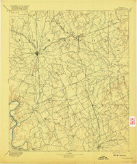
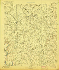
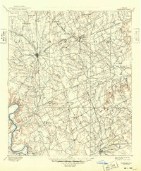
Other maps of this area

1888 · Meridian
USGS Topo · 1:125,000

1889 · Granbury
USGS Topo · 1:125,000

1891 · Weatherford
USGS Topo · 1:125,000

1891 · Dallas
USGS Topo · 1:125,000

1891 · Cleburne
USGS Topo · 1:125,000

1892 · Waco
USGS Topo · 1:125,000

1893 · Dallas
USGS Topo · 1:125,000

1893 · Weatherford
USGS Topo · 1:125,000

1894 · Meridian
USGS Topo · 1:125,000

1894 · Cleburne
USGS Topo · 1:125,000