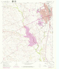
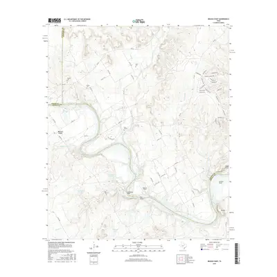
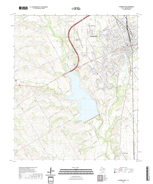
1961 Map of Cleburne West
USGS Topo · Published 1979About this map
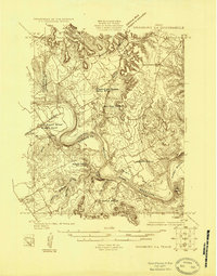
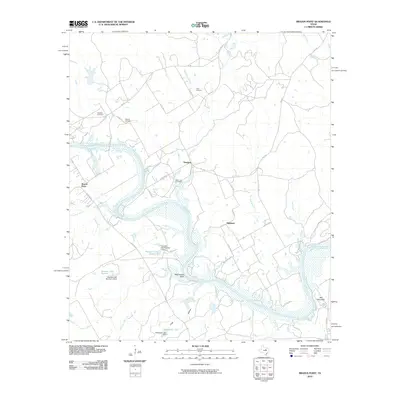
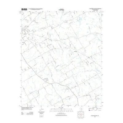
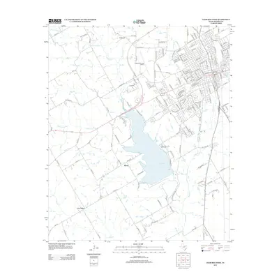
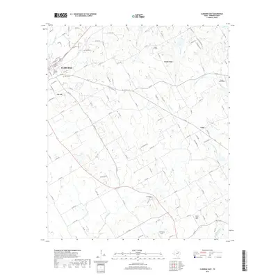
The Cleburne townsite dominates the northeastern portion of this survey, showing a dense grid of neighborhoods expanding through College Heights and toward the Cleburne Municipal Airport. This 1961 edition, updated with revisions from 1976, documents a significant landscape transformation as the Nolan River is prepared for inundation. A large purple-tinted area south of town marks a planned Lake at a normal pool elevation of 733 feet, a project that would fundamentally alter the confluence of West Fork Nolan River, Buffalo Creek, and Robinson Branch.
Find a feature on this map
45 named features on this map. Tap any name to fly to it.
Don’t see what you’re looking for? This feature index may not catch every label — zoom into the map to look around manually.
Map Details
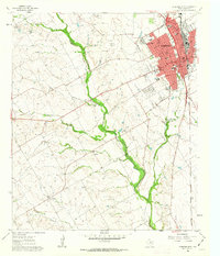
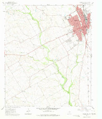
Editions of this 1961 Cleburne West Map
3 editions found
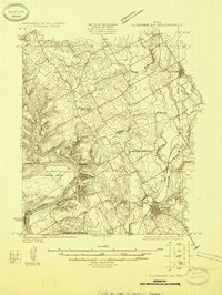
Historical Maps of Cleburne Through Time
26 maps found
1924 Cleburne 3-B
Johnson County, TX
1924 Granbury 4-a
Johnson County, TX
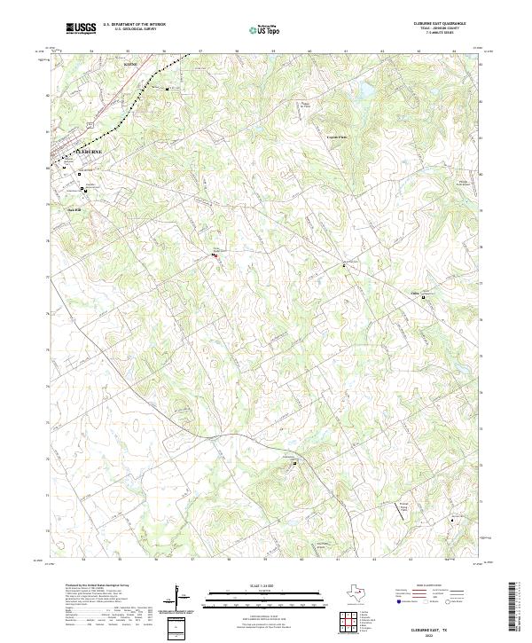
1960 Cleburne East
Johnson County, TX
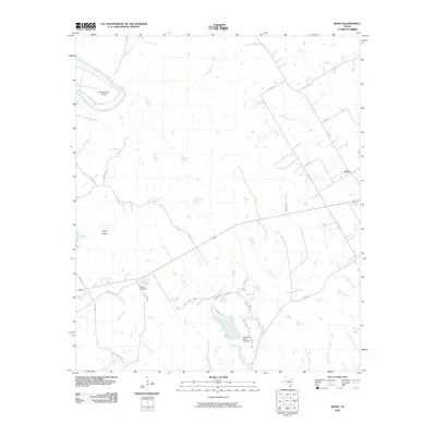
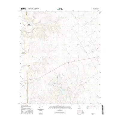
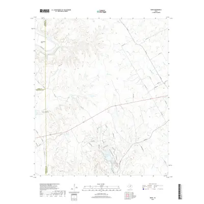
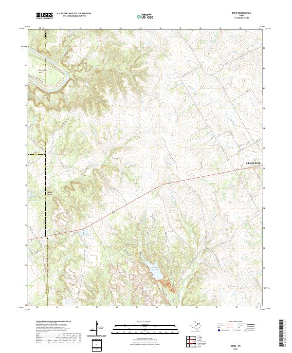
1961 Bono
Johnson County, TX
1961 Cleburne West
Johnson County, TX
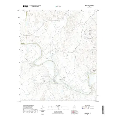
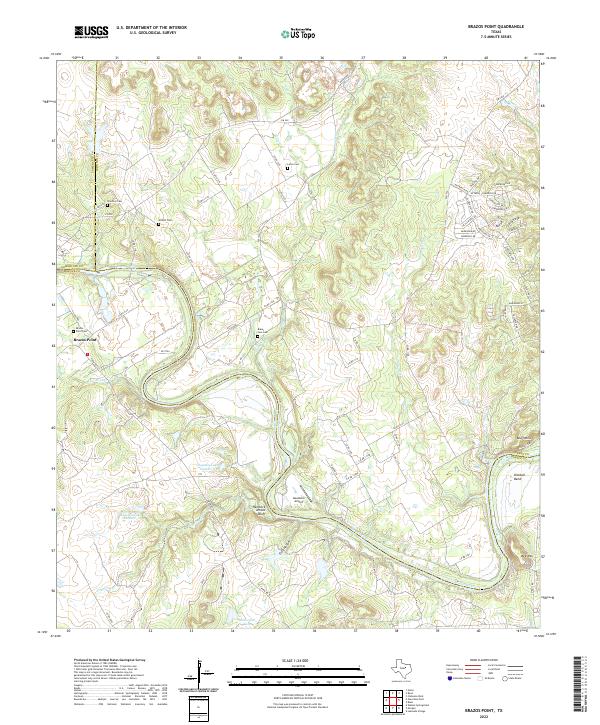
1968 Brazos Point
Johnson County, TX
2010 Bono
Johnson County, TX
2010 Brazos Point
Johnson County, TX
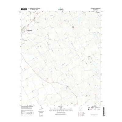
2010 Cleburne East
Johnson County, TX
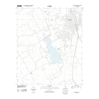
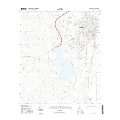
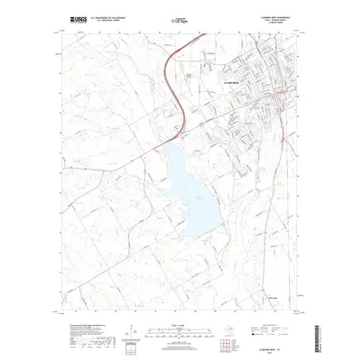
2010 Cleburne West
Johnson County, TX
2012 Cleburne East
Johnson County, TX
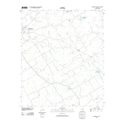
2012 Cleburne West
Johnson County, TX
2013 Bono
Johnson County, TX
2013 Brazos Point
Johnson County, TX
2016 Bono
Johnson County, TX
2016 Brazos Point
Johnson County, TX
2016 Cleburne East
Johnson County, TX
2016 Cleburne West
Johnson County, TX
2019 Bono
Johnson County, TX
2019 Brazos Point
Johnson County, TX
2019 Cleburne East
Johnson County, TX
2019 Cleburne West
Johnson County, TX
2022 Bono
Johnson County, TX
2022 Brazos Point
Johnson County, TX
2022 Cleburne East
Johnson County, TX
2022 Cleburne West
Johnson County, TX