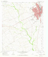
1961 Map of Cleburne West
USGS Topo · Published 1975About this map
Cleburne serves as the focal point of this North Texas study, dominated by the residential and commercial grid east of McAnear Creek. The city's mid-century footprint is anchored by civic landmarks like the Courthouse and City Hall, while local life centers around institutions such as St Mark Ch and several neighborhood schools including Westside Sch and Fulton Jr High Sch. Beyond the urban core, the landscape transitions into the rolling terrain of the Nolan River valley, where the Gulf Colorado and Santa Fe railroad traces a north-south path through the countryside.
Find a feature on this map
45 named features on this map. Tap any name to fly to it.
Don’t see what you’re looking for? This feature index may not catch every label — zoom into the map to look around manually.
Map Details
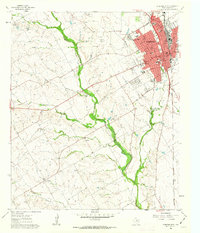
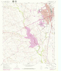
Editions of this 1961 Cleburne West Map
3 editions found
Other maps of this area

1889 · Granbury
USGS Topo · 1:125,000

1891 · Cleburne
USGS Topo · 1:125,000

1894 · Cleburne
USGS Topo · 1:125,000

1924 · Cleburne 3-B
USGS Topo · 1:48,000

1924 · Granbury 4-a
USGS Topo · 1:48,000

1927 · Blum
USGS Topo · 1:62,500

1928 · Godley
USGS Topo · 1:62,500

1931 · Morgan
USGS Topo · 1:62,500

1954 · Dallas
USGS Topo · 1:250,000

1958 · Dallas
USGS Topo · 1:250,000