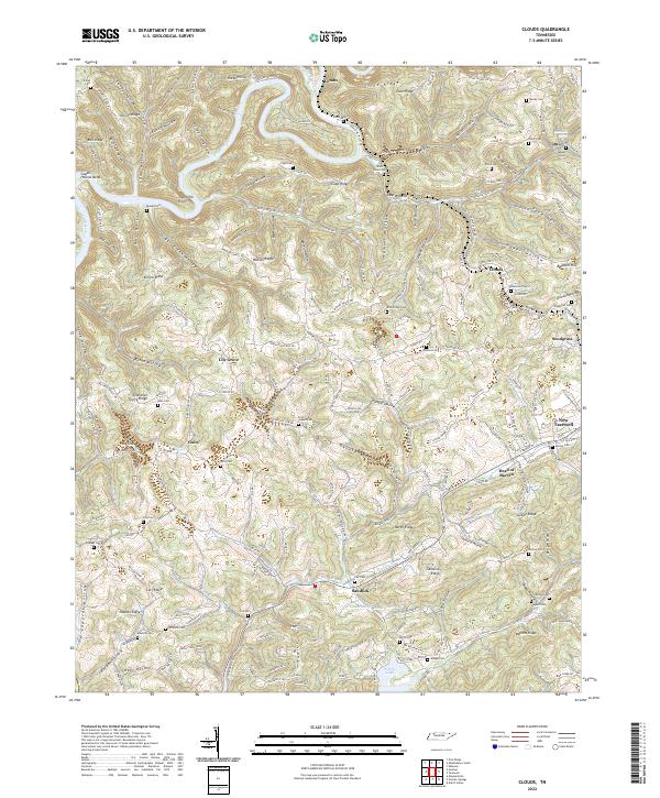
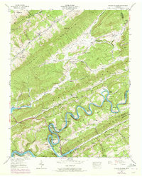
2022 Map of Clouds
USGS Topo · Published 2022About this map
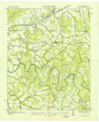
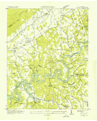
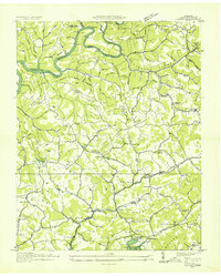
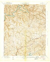
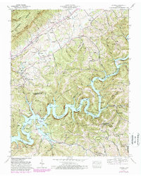
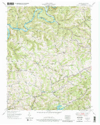
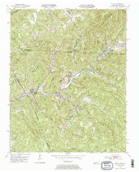
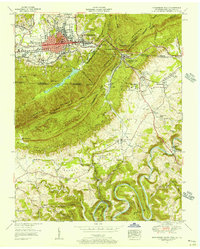
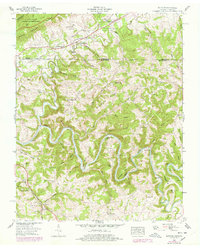
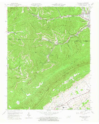
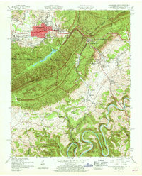
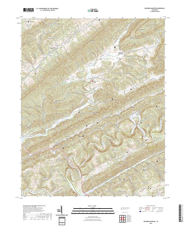
Powell River meanders through the northern reaches of this landscape, carving deep bends like Capps Hollow Bend into the ridges of Claiborne County. The terrain is defined by a dense network of hollows and ridges, including Cline Ridge and Cave Ridge, where small rural settlements such as Clouds and Goin are connected by narrow winding roads. The southern portion of the map transitions toward the waters of Norris Lake, with the drainage of Big Barren Cr and Straight Cr shaping the local topography. This area is a significant resource for genealogists, as it preserves the locations of numerous family-named burial grounds, including the Goin Cem, Shiflet Cem, and Ford Chapel Cem. The settlement at Head of Barren and the ridge-top community of Sandlick illustrate the enduring upland settlement patterns of this corner of Tennessee.
Find a feature on this map
234 named features on this map. Tap any name to fly to it.
Don’t see what you’re looking for? This feature index may not catch every label — zoom into the map to look around manually.
Map Details
Editions of this 2022 Clouds Map
This is the sole edition of this map. No revisions or reprints were ever made.
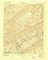
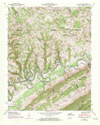
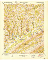
Historical Maps of Duo Through Time
27 maps found
1935 Colman
Claiborne County, TN
1935 Howard Quarter
Claiborne County, TN
1935 Mingo Mountains
Claiborne County, TN
1935 Wheeler
Claiborne County, TN
1936 Ausmus
Claiborne County, TN
1936 Clouds
Claiborne County, TN

1942 Ausmus
Claiborne County, TN
1942 Clouds
Claiborne County, TN
1942 Howard Quarter
Claiborne County, TN
1943 Howard Quarter
Claiborne County, TN
1946 Colemen Gap
Claiborne County, TN
1950 Colemen Gap
Claiborne County, TN

1950 Mingo Mountains
Claiborne County, TN
1952 Ausmus
Claiborne County, TN
1952 Clouds
Claiborne County, TN
1953 Eagan
Claiborne County, TN
1955 Middlesboro South
Claiborne County, TN
1956 Wheeler
Claiborne County, TN
1959 Fork Ridge
Claiborne County, TN
1959 Middlesboro South
Claiborne County, TN
1976 Colemen Gap
Claiborne County, TN
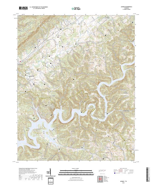
2022 Ausmus
Claiborne County, TN
2022 Clouds
Claiborne County, TN
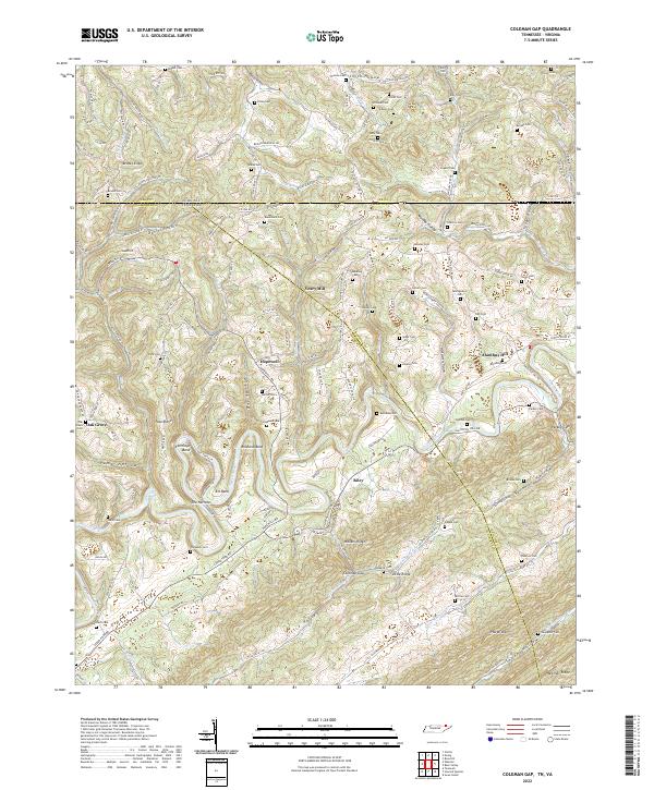
2022 Coleman Gap
Claiborne County, TN
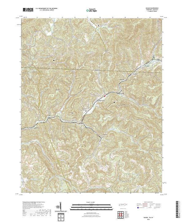
2022 Eagan
Claiborne County, TN
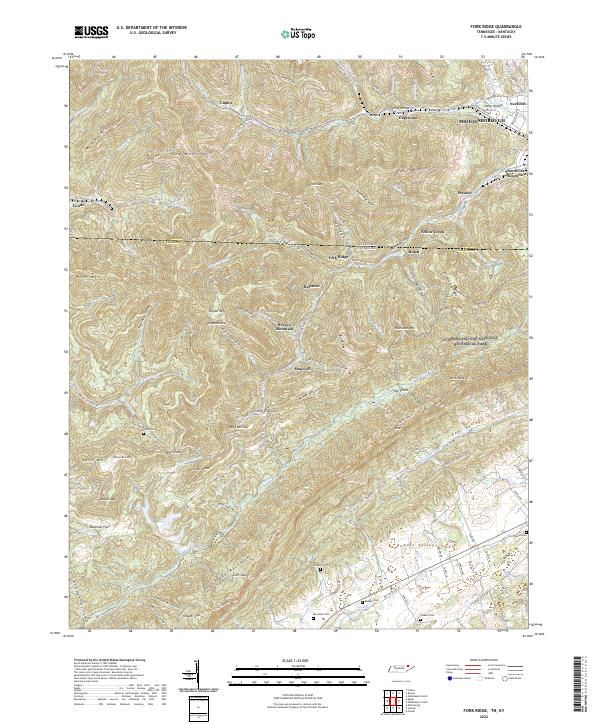
2022 Fork Ridge
Claiborne County, TN
2022 Howard Quarter
Claiborne County, TN