
1954 Map of Clovis
USGS Topo · Published 1966About this map
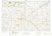
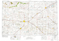
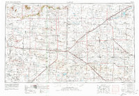
The Caprock defines the western edge of this High Plains landscape, where the dramatic escarpment gives way to the vast, level reaches of the Llano Estacado. Centered on the state line between New Mexico and Texas, the 1954 survey captures the agricultural and transportation framework of the region during the mid-century. Major hubs like Clovis and Portales serve as focal points for a network of railroads, including the Atchison Topeka and Santa Fe RR, which facilitates the movement of cattle and grain from surrounding towns like Muleshoe and Hereford. The map reveals a land defined by its draws and ephemeral water, with Blackwater Draw and Frio Draw cutting across the plains toward the Buffalo Lake National Wildlife Refuge. Military presence is anchored by Cannon AFB, reflecting the strategic importance of the open terrain during the Cold War era.
Find a feature on this map
74 named features on this map. Tap any name to fly to it.
Don’t see what you’re looking for? This feature index may not catch every label — zoom into the map to look around manually.
Map Details
Editions of this 1954 Clovis Map
4 editions found
Other maps of this area

1930 · Tucumcari
USGS Topo · 1:125,000

1954 · Lubbock
USGS Topo · 1:250,000

1954 · Santa Fe
USGS Topo · 1:250,000

1954 · Fort Sumner
USGS Topo · 1:250,000

1954 · Tucumcari
USGS Topo · 1:250,000

1954 · Amarillo
USGS Topo · 1:250,000

1954 · Plainview
USGS Topo · 1:250,000

1954 · Brownfield
USGS Topo · 1:250,000

1955 · Roswell
USGS Topo · 1:250,000

1957 · Portair
USGS Topo · 1:62,500