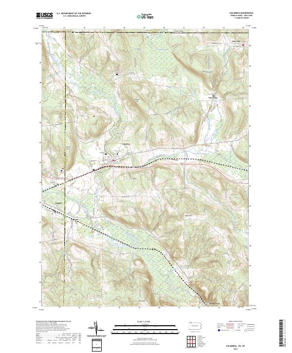
2023 Map of Columbus
USGS Topo · Published 2023About this map
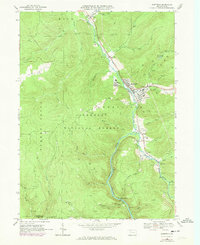
Brokenstraw Creek winds through the heart of this Warren County landscape, anchoring a series of small agricultural and residential clusters. The settlement of Columbus sits at the junction of several historic routes, including W Main St and Pike Rd, surrounded by ancestral burial grounds like the David Curtis Cem and Westlawn Cem. To the north, the terrain transitions into the wetlands of Tamarack Swamp and Benson Swamp, illustrating the drainage patterns that defined early land use and road placement in the region.
Find a feature on this map
83 named features on this map. Tap any name to fly to it.
Don’t see what you’re looking for? This feature index may not catch every label — zoom into the map to look around manually.
Map Details
Editions of this 2023 Columbus Map
This is the sole edition of this map. No revisions or reprints were ever made.
Historical Maps of Pine Valley Through Time
21 maps found

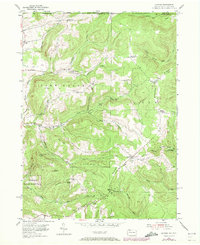
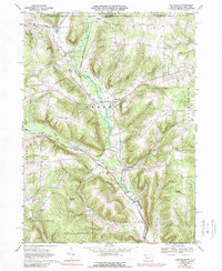
1947 Cherry Grove
Warren County, PA
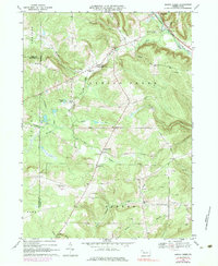
1954 Scandia
Warren County, PA
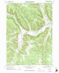
1966 Cherry Grove
Warren County, PA
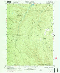
1966 Cobham
Warren County, PA
1966 Cornplanter Run
Warren County, PA
1966 Sheffield
Warren County, PA
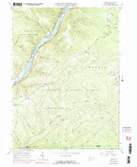
1968 Columbus
Warren County, PA
1968 Grand Valley
Warren County, PA
1968 Lottsville
Warren County, PA
1968 Pittsfield
Warren County, PA
1968 Spring Creek
Warren County, PA
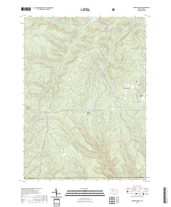
2023 Cherry Grove
Warren County, PA
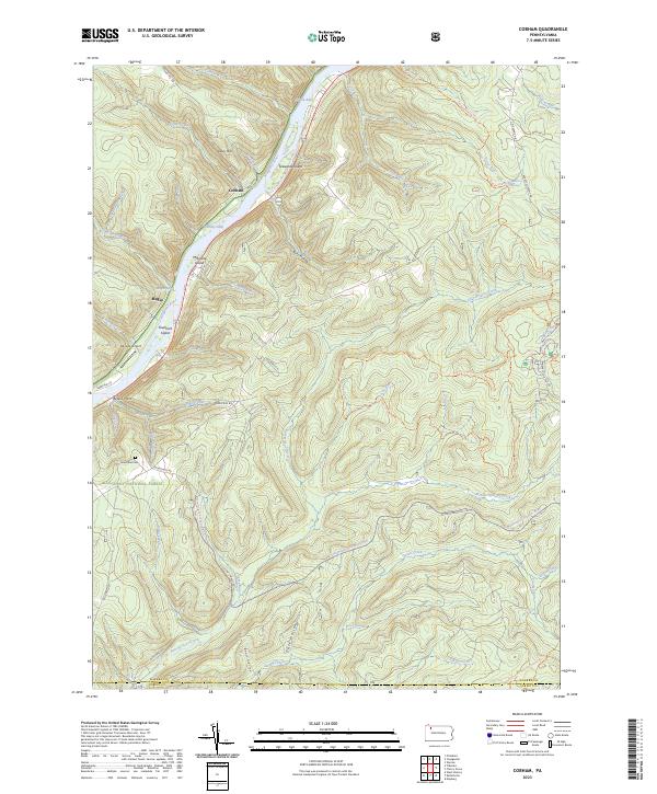
2023 Cobham
Warren County, PA
2023 Columbus
Warren County, PA
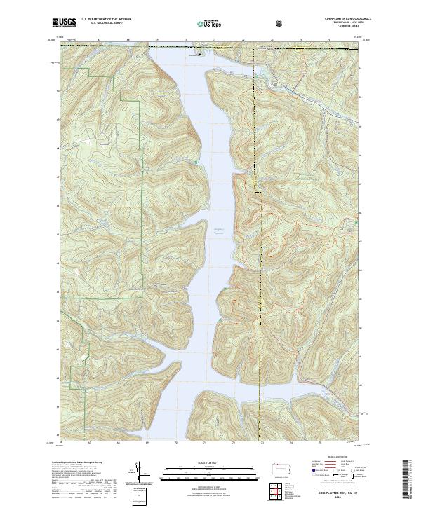
2023 Cornplanter Run
Warren County, PA
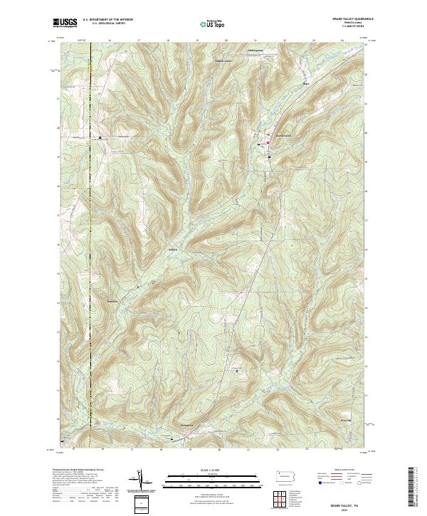
2023 Grand Valley
Warren County, PA
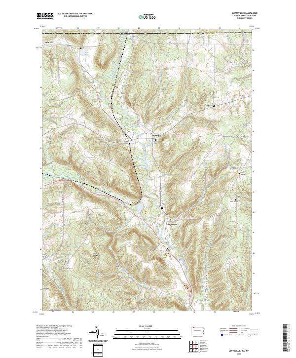
2023 Lottsville
Warren County, PA
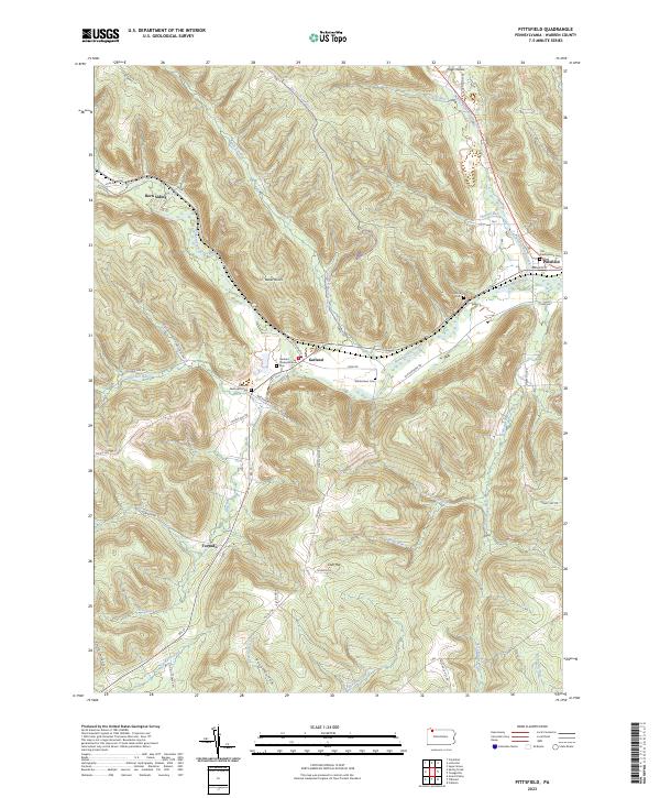
2023 Pittsfield
Warren County, PA
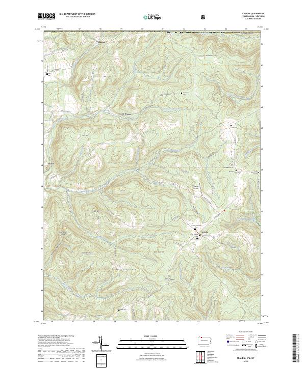
2023 Scandia
Warren County, PA
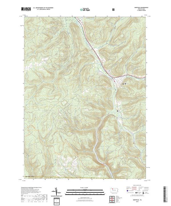
2023 Sheffield
Warren County, PA
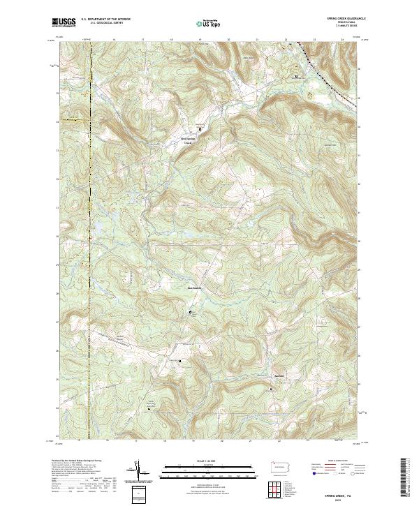
2023 Spring Creek
Warren County, PA