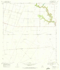
1969 Map of Concordia
USGS Topo · Published 1972About this map
Concordia serves as a small hub in this South Texas coastal plain landscape, situated just north of the Nueces Co Kleberg Co boundary. The 1969 topography reveals an environment defined by ranching and resource extraction, where life revolves around the water supplied by scattered family-named landmarks like Mota Redonda Windmill and Palma Windmill. To the west, Oil Wells indicate the region's industrial footprint, while the St Paul Cem stands as a quiet marker of the local settlement's history.
Find a feature on this map
16 named features on this map. Tap any name to fly to it.
Don’t see what you’re looking for? This feature index may not catch every label — zoom into the map to look around manually.
Map Details
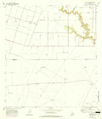
Editions of this 1969 Concordia Map
2 editions found
Other maps of this area

1924 · Petronilla
USGS Topo · 1:62,500

1928 · Sarita
USGS Topo · 1:125,000

1950 · Corpus Christi
USGS Topo · 1:250,000

1951 · Riviera Beach NE
USGS Topo · 1:24,000

1952 · Riviera Beach NW
USGS Topo · 1:24,000

1952 · Riviera Beach
USGS Topo · 1:62,500

1954 · Kingsville
USGS Topo · 1:62,500

1954 · Petronila
USGS Topo · 1:62,500

1954 · Riviera
USGS Topo · 1:62,500

1956 · Corpus Christi
USGS Topo · 1:250,000