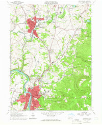
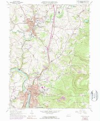
1964 Map of Connellsville
USGS Topo · Published 1966About this map
Industrial hubs and coal-country topography dominate this mid-century survey of the Youghiogheny River valley. The urban centers of Connellsville and Scottdale serve as the primary anchors, their dense street grids contrasting with the surrounding landscape of ridges and hollows. The presence of numerous extraction sites, including Strip Mines and the Ore Mine Hill, indicates the region's long-standing reliance on the local mineral wealth. Transportation infrastructure is a defining feature, with the Pennsylvania, Baltimore and Ohio, and Pennsylvania and Lake Erie railroads providing the essential links for moving industrial goods along the river.
Find a feature on this map
121 named features on this map. Tap any name to fly to it.
Don’t see what you’re looking for? This feature index may not catch every label — zoom into the map to look around manually.
Map Details
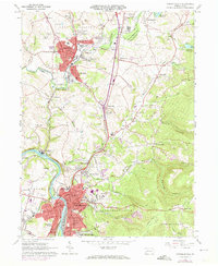
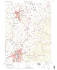
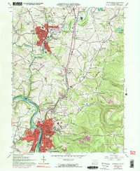
Editions of this 1964 Connellsville Map
5 editions found
Other maps of this area

1900 · Uniontown
USGS Topo · 1:62,500

1902 · Connellsville
USGS Topo · 1:62,500

1922 · Confluence
USGS Topo · 1:62,500

1922 · Donegal
USGS Topo · 1:62,500

1931 · Connellsville
USGS Topo · 1:62,500

1931 · Uniontown
USGS Topo · 1:62,500

1931 · Confluence
USGS Topo · 1:62,500

1933 · Confluence
USGS Topo · 1:62,500

1935 · Donegal
USGS Topo · 1:62,500

1936 · Connellsville
USGS Topo · 1:62,500