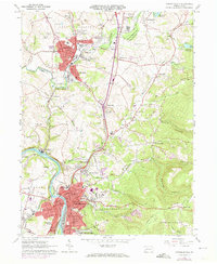
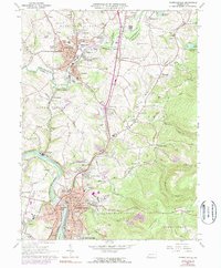
1964 Map of Connellsville
USGS Topo · Published 1973About this map
The Youghiogheny River carves a deep valley through the heart of this industrial and residential corridor during the early 1960s and 1970s. The city of Connellsville serves as the southern anchor, showing a dense street grid punctuated by civic landmarks like the State Hospital and City Hall. To the north, Scottdale and Everson mark a separate hub of settlement along Jacobs Creek. The landscape between these urban centers is a complex network of transportation and extraction, defined by the meeting of the Baltimore and Ohio, Penn Central, and Western Maryland railroads.
Find a feature on this map
114 named features on this map. Tap any name to fly to it.
Don’t see what you’re looking for? This feature index may not catch every label — zoom into the map to look around manually.
Map Details
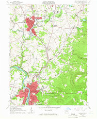
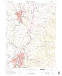
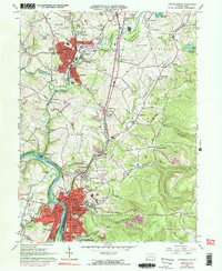
Editions of this 1964 Connellsville Map
5 editions found
Other maps of this area

1900 · Uniontown
USGS Topo · 1:62,500

1902 · Connellsville
USGS Topo · 1:62,500

1922 · Confluence
USGS Topo · 1:62,500

1922 · Donegal
USGS Topo · 1:62,500

1931 · Connellsville
USGS Topo · 1:62,500

1931 · Uniontown
USGS Topo · 1:62,500

1931 · Confluence
USGS Topo · 1:62,500

1933 · Confluence
USGS Topo · 1:62,500

1935 · Donegal
USGS Topo · 1:62,500

1936 · Connellsville
USGS Topo · 1:62,500